|
|
|
| FL Maps > Local > Hillsborough |
Click on a thumbnail image to view a full size version of that map.
|
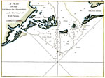
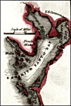
A Plan of the Entrances of Tampa Bay on the West Coast of East Florida,
1770 |
|
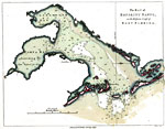
The Bay of Espiritu Santo on the Western Coast of East Florida,
1777 |
|
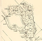
Espirito Santo Bay,
1834 |
|
Detail - Preliminary chart of the northeastern part of the Gulf of Mexico,
1861 |
|
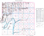
Ybor City area of Tampa, Florida,
1886 |
|
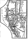
Seaboard Air Line Railroad and Connections- detail,
1917 |
|
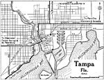
Tampa Florida,
1919 |
|
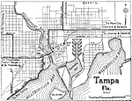
Tampa Florida,
1922 |
|
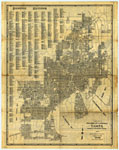
Tampa: Florida's Convenient Center,
1927 |
|
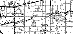
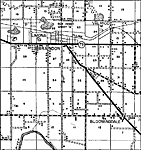
Bloomingdale,
1936 |

|
Brandon,
1936 |
|
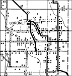
Coronet,
1936 |
|
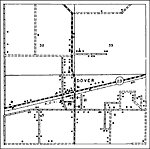
Dover,
1936 |
|
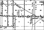
Durant,
1936 |
|
Durant 2,
1936 |
|
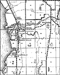
Gibsonton,
1936 |
|
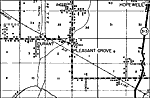
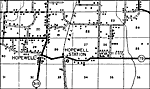
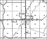
Hopewell,
1936 |
|
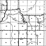
Keysville,
1936
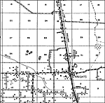
Knights,
1936 |
|
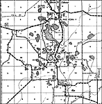
Lake Fern,
1936 |
|
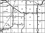
Lithia,
1936 |
|
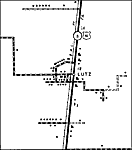
Lutz,
1936 |
|
Lutz 2,
1936
Mango,
1936 |
|
Picnic,
1936 |
| Next | Last |
| FL Maps > Local > Hillsborough |
Maps ETC
is a part of the
Educational Technology Clearinghouse
Produced by the
Florida Center for Instructional Technology
© 2007
College of Education
,
University of South Florida