|
|
|
| FL Maps > Local > Volusia |
Click on a thumbnail image to view a full size version of that map.
|
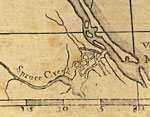
Detail - East and West Florida,
1774 |
|
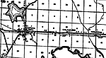
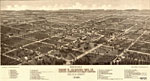
Bird's Eye View of De Land, Fla.,
1884 |
|
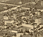
Detail - Bird's Eye View of De Land, Fla.,
1884 |
|
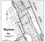
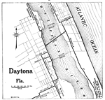
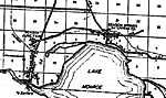
Daytona Florida,
1919 |
|
Daytona Florida,
1922 |
|
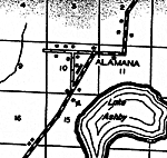
Alamana,
1936 |
|
Allendale,
1936 |
|
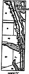
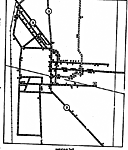
Ariel,
1936 |
|
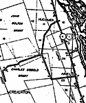
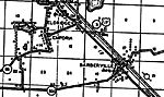
Benson,
1936 |
|
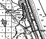
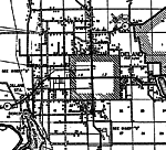
Daytona,
1936 |
|
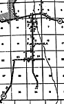
Deland,
1936 |
|
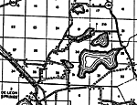
De Leon Springs,
1936 |
|
Emporia,
1936 |
|
Glendale,
1936 |
|
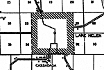
Lake Helen,
1936
New Smyrna,
1936 |
|
Oak Hill,
1936 |
|
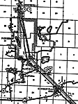
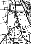
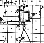
Orange City,
1936 |
|
Samsula,
1936
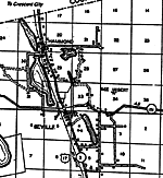
Seville,
1936 |
|
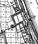
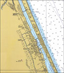
New Smyrna Beach,
1956 |
|
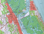
Ormond Beach to Daytona Beach,
1978 |
| FL Maps > Local > Volusia |
Maps ETC
is a part of the
Educational Technology Clearinghouse
Produced by the
Florida Center for Instructional Technology
© 2007
College of Education
,
University of South Florida