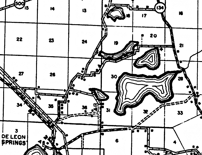
Description: This is a detailed map of the city De Leon Springs in Volusia County, Florida. Section Township Range (STR) is shown. This map shows state roads, tenant houses, a church, a cemetery, recreation area, farm units and dwellings other than farms. Key to Florida Highway maps.
Place Names: Volusia, De Leon Springs
ISO Topic Categories: boundaries, location, transportation, inlandWaters
Keywords: De Leon Springs, physical, political, transportation, physical features, major political subdivisions, local jurisdictions, roads, boundaries, location, transportation, inlandWaters, Unknown,1936
Source: , Florida State Road Department (, FL: , 1936)
Map Credit: Courtesy the private collection of Roy Winkelman. |
|