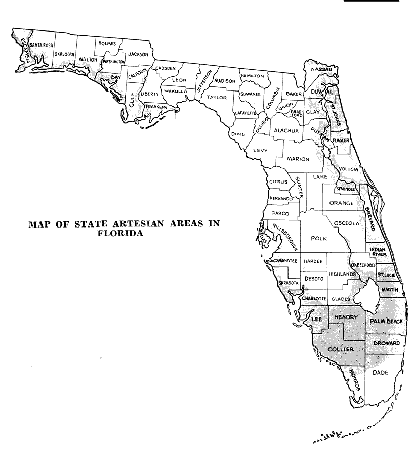
Description: "The shaded portion of the map… shows the areas in the State where artesian water is available. This shows that there is a considerable area along the east coast, the lower west coast, a narrow strip down through the ridge section, and a large part of the Everglades where artesian water may be secured. The depth to the water varies in different sections, ranging from 100 to 1,200 or 1,500 feet."
Source: , Citrus Growing in Florida (Tallahassee, FL: State of Florida Department of Agriculture, 1931) 48
Map Credit: Courtesy the private collection of Roy Winkelman |
|