|
|
|
| FL Maps > State > 1920-1949 |
|
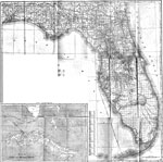
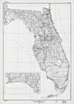
Florida,
1920 |
|
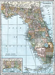
Florida,
1920 |
|
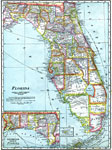
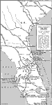
Florida,
1921 |
|
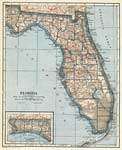
Florida,
1921 |
|
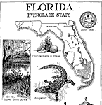
Florida: Everglade State,
1921 |
|
Winter Golf,
1922 |
|
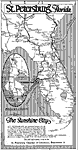
St. Petersburg Florida,
1922 |
|
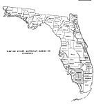
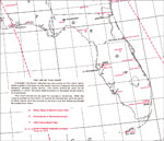
Artesian Areas in Florida,
1931 |
|
Florida,
1932 |
|
Great Circle Outline Chart of Florida,
1941 |
|
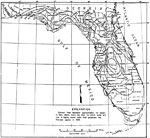
Piezometric Surface of the Floridian Aquifer,
1949 |
| FL Maps > State > 1920-1949 |
Maps ETC
is a part of the
Educational Technology Clearinghouse
Produced by the
Florida Center for Instructional Technology
© 2007
College of Education
,
University of South Florida