mapsExploring Florida
 FL Maps > Local > Volusia > Daytona Florida, 1922
Site Map 

Daytona Florida, 1922


Puzzle Directions: Click on a puzzle piece and drag it where you want it. When you connect two pieces correctly, they will join together. Mix up the pieces again. View finished map in pop-up window.

Title: Daytona Florida
Projection: Unknown
Source Bounding Coordinates:
W: E: N: S:

Back to Map Page
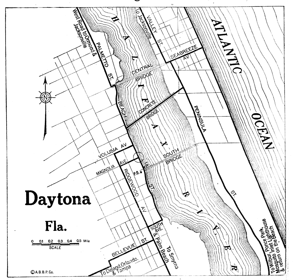
Description: Map of Daytona, Florida in 1922 C.E. Shows local roads around Daytona, Florida. Shows Atlantic Ocean and the Halifax River
Source: The Automobile Blue Book Corporation, Middle Atlantic and Southeastern Automobile Blue Book 1922 (New York, NY: The Automobile Blue Book Corporation, 1921) 591
Map Credit: Courtesy the private collection of Roy Winkelman
SearchLicensePDF HelpGIS Help Google Earth Help Zoomify Help

 FL Maps > Local > Volusia > Daytona Florida, 1922