mapsExploring Florida
 FL Maps > State > 1880-1899 > Florida, 1888
Site Map 

Florida, 1888


Puzzle Directions: Click on a puzzle piece and drag it where you want it. When you connect two pieces correctly, they will join together. Mix up the pieces again. View finished map in pop-up window.

Title: Florida
Projection: Unknown
Source Bounding Coordinates:
W: -85.1 E: -79.9 N: 31.3 S: 24.5

Back to Map Page
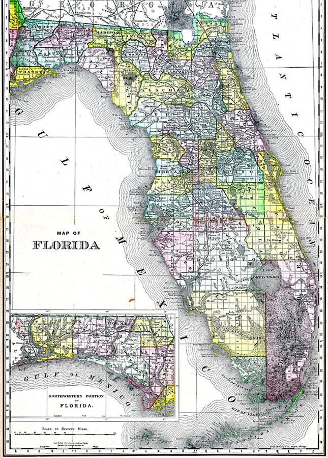
Description: A map of Florida showing county lines, the county seats, railroads, and cities current to 1888. The Everglades and other wetlands are also shown on this map. The Northwestern portion of the state (the Panhandle) is included in an inset map.
Source: , Atlas of the World (Chicago, IL: Rand McNally & Co., 1888)
Map Credit: Courtesy the private collection of Roy Winkelman
SearchLicensePDF HelpGIS Help Google Earth Help Zoomify Help

 FL Maps > State > 1880-1899 > Florida, 1888