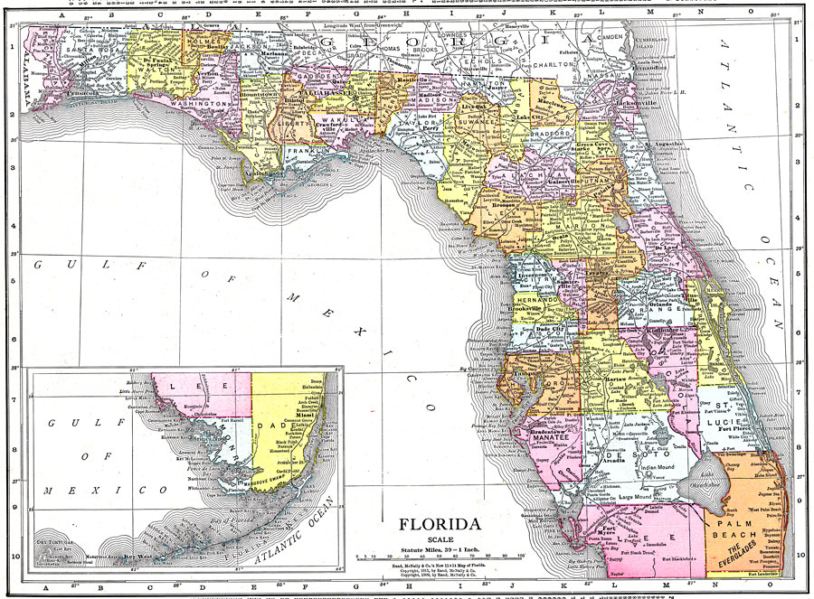
Description: This map of Florida shows county boundaries, wetlands, and railroads connecting major cities current to 1911. There is an inset map of the Southern portion of the state.
Source: , (, : Rand McNally, 1911)
Map Credit: Courtesy the private collection of Roy Winkelman. |
|