Title: South Monroe
Projection: Mercator,
Source Bounding Coordinates:
W: E: N: S: |
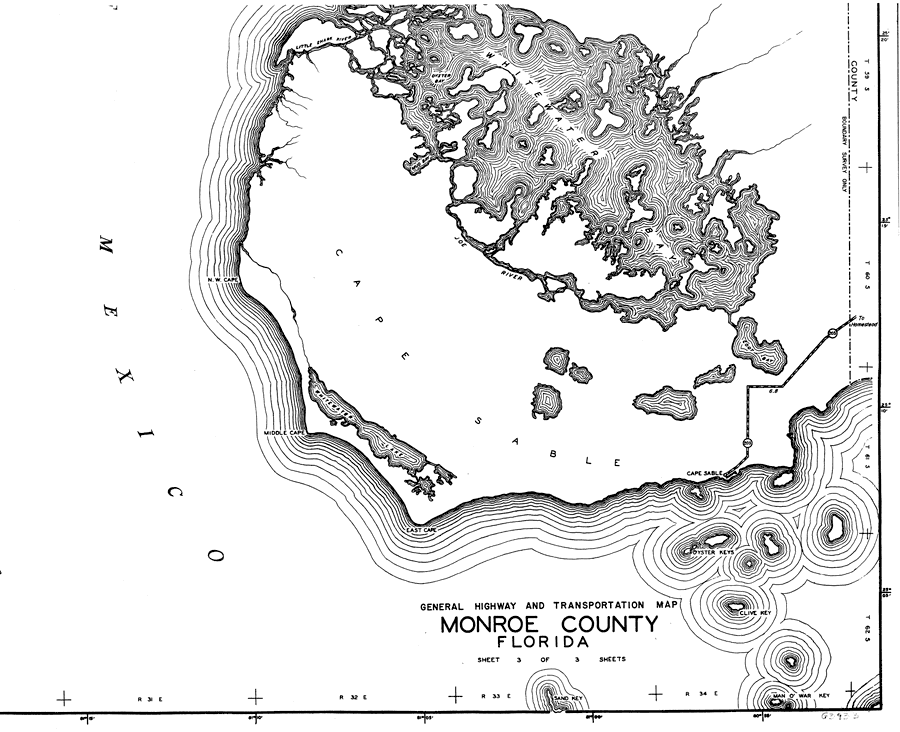
| | Description: This is a detailed map of the south portion of the county of Monroe in the state of Florida. Section Township Range (STR) is shown. This map shows all of the main keys and bodies of water, a business and dwellings. Key to Florida Highway maps.
Source: , Florida State Road Department (, FL: , 1937)
Map Credit: Courtesy the private collection of Roy Winkelman. |
| |
|