mapsExploring Florida
 FL Maps > Local > Monroe > Tavernier, 1937
Site Map 

Tavernier, 1937


Puzzle Directions: Click on a puzzle piece and drag it where you want it. When you connect two pieces correctly, they will join together. Mix up the pieces again. View finished map in pop-up window.

Title: Tavernier
Projection: Mercator,
Source Bounding Coordinates:
W: E: N: S:

Back to Map Page
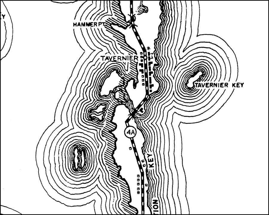
Description: This is a detailed map of the city Tavernier in Monroe County, Florida. Section Township Range (STR) is shown. This map shows state roads, a post office, businesses, a school, farm units and dwellings other than farms. Key to Florida Highway maps.
Source: , Florida State Road Department (, FL: , 1937)
Map Credit: Courtesy the private collection of Roy Winkelman.
SearchLicensePDF HelpGIS Help Google Earth Help Zoomify Help

 FL Maps > Local > Monroe > Tavernier, 1937