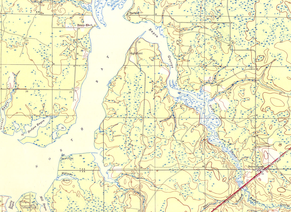
Title: Bayou George, Florida
Projection: Polyconic,
Source Bounding Coordinates:
W: E: N: S: |
| | Description: A portion of the Bayhead Quadrangle showing details of the area around George Bayou, Florida. The map shows man-made structures such as State routes, primary and secondary roads, railroads, as well as the locations of survey bench markers. Natural features include rivers, bayous, coastline and wetlands. Contour lines are shown at 10-foot intervals. The map is from the USGS 7 1/2-minute series, with a map scale of 1:31,680. The Township/Range grid based on the Tallahassee baseline and meridian is shown.
Source: , Bayhead Quadrangle (Washington, DC: United States Department of the Interior Geological Survey, 1945)
Map Credit: Courtesy the private collection of Roy Winkelman |
| |
|