Title: Gainesville
Projection: Transverse_Mercator,
Source Bounding Coordinates:
W: E: N: S: |
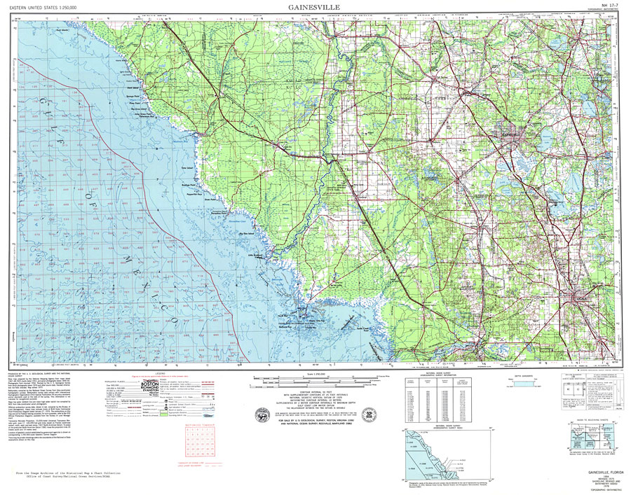
| | Description: A National Oceanic and Atmospheric Administration map of Gainesville, Florida area and Gulf coast from Dark Island to Cedar Key current to1975. This map shows all soundings and heights expressed in feet. Navigational aids such as lights, beacons, buoys and measures of magnetic declination variances are shown as well as obstructions such as shoals, submerged piles, wreckage, fixed bridges, and overhead cables. The map scale is 1:250,000. North Geodetic Vertical Datum1929 is used. Key to NOAA maps.
Source: U.S. Geologic Survey and National Ocean Service, Eastern United States (Reston, VA: USGS and NOS, 1975)
Map Credit: Courtesy the U.S. National Oceanic and Atmospheric Administration |
| |
|