mapsExploring Florida
 FL Maps > County > Hillsborough > Hillsborough County Florida District Road and Bridge Map, 1927
Site Map 

Hillsborough County Florida District Road and Bridge Map, 1927


Puzzle Directions: Click on a puzzle piece and drag it where you want it. When you connect two pieces correctly, they will join together. Mix up the pieces again. View finished map in pop-up window.

Title: Hillsborough County Florida District Road and Bridge Map
Projection: Unknown
Source Bounding Coordinates:
W: -82.5 E: -82 N: 28.5 S: 27.5

Back to Map Page
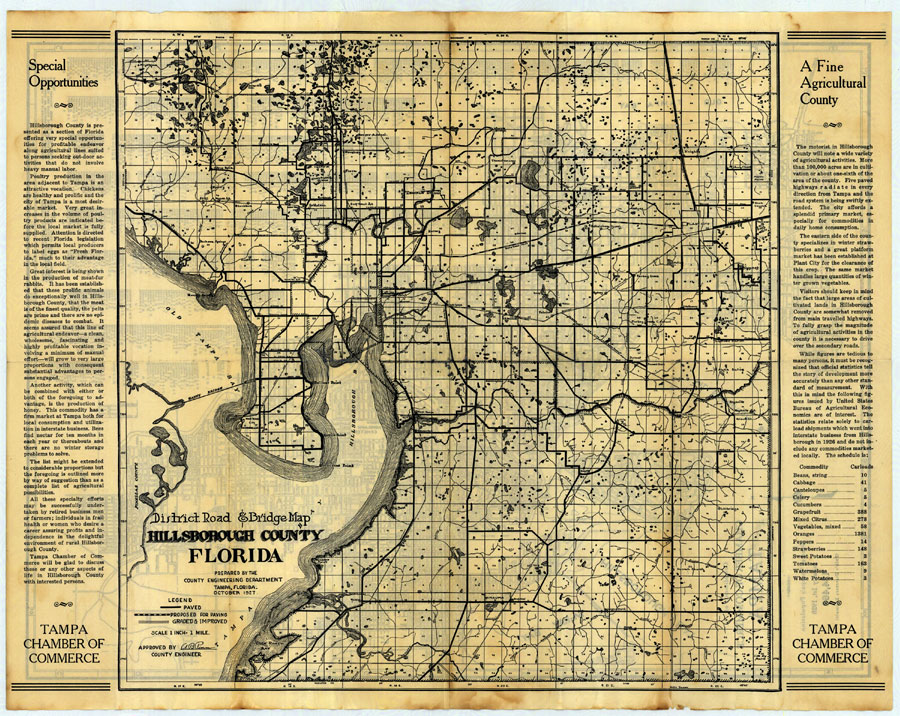
Description: Digitization provided by the USF Libraries Digitization Center. Rare Maps. This is a map of Hillsborough County, circa 1927. This map shows roads and bridges, railroads, cities and towns and inland waters. Section Township Range (STR) is shown. This map features two articles about Hillsborough county on each side of the map titled "Special Opportunities" and "A Fine Agricultural County". Measurements.Resolution: Scale [ca. 1:63360]
Source: Hillsborough County Engineering Department, (Tampa, FL: Tampa Chamber of Commerce, 1927)
Map Credit: Courtesy of the Special Collections Department, University of South Florida.
SearchLicensePDF HelpGIS Help Google Earth Help Zoomify Help

 FL Maps > County > Hillsborough > Hillsborough County Florida District Road and Bridge Map, 1927