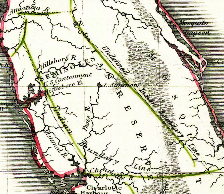
Description: Digitization provided by the USF Libraries Digitization Center. Rare Maps. This is a map of Seminole Indian Reserve, circa 1830. It is a portion of Rand McNally and Co.'s new business map of Florida. It shows county boundaries, unidentified Indian boundary lines, inland waters such as the Hillsboro or Hillsborough River, etc.
Source: Joseph Meyer, Rand McNally and Co.'s new business map of Florida (and) Rand McNally and Co.'s indexed atlas of the world (Philadelphia, PA: Rand McNally and Co., 1830)
Map Credit: Courtesy of the Special Collections Department, University of South Florida. |
|