|
|
|
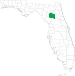
| FL Maps > County > Alachua |
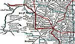
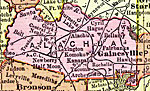
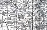
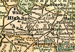
Click on a thumbnail image to view a full size version of that map.
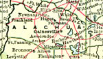
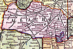
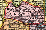
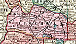
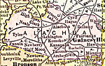
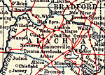
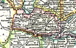
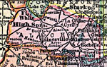
Alachua County is Florida's 9th county, established on December 29, 1824, from a segment of St. Johns County. It gains its name from a Spanish ranch that existed in the area during the late 1600s. It is believed that the name comes from a large chasm that is located northwest of Gainesville. Gainesville is the county seat.
For earlier maps of this area, visit the St. Johns County map gallery.
|
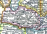
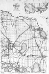
Alachua County,
1907 |
|
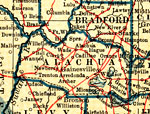
Alachua County,
1909 |
|
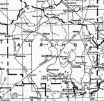
Alachua County,
1910 |
|
Alachua County,
1911 |
|
Alachua County,
1911 |
|
Alachua County,
1914 |
|
Alachua County,
1916 |
|
Alachua County,
1916 |
|
Alachua County,
1917 |
|
Alachua County,
1917 |
|
Alachua County,
1920 |
|
Alachua County,
1920 |
|
Alachua County,
1921 |
|
Alachua County,
1921 |
|
Alachua County,
1932 |
|
Alachua,
1936 |
|
East Alachua,
1936 |
|
West Alachua,
1936 |
|
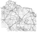
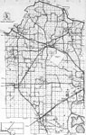
Alachua County,
1975 |
|
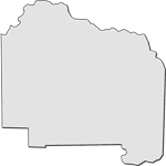
Florida Waterways: Alachua County Outline,
2008 |
|
Florida Waterways: Alachua County Outline without Labels,
2008 |
|
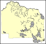
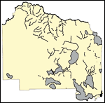
Alachua EPA Superfund Sites,
2008 |
|
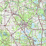
Alachua,
2008 |
|
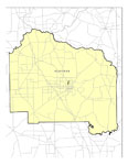
Locater Map of Alachua County,
2008 |
|
Plain Frames Collection: Alachua County Maps in 30 Colors,
2008 |
| First | Previous | Next | Last |
| FL Maps > County > Alachua |
Maps ETC
is a part of the
Educational Technology Clearinghouse
Produced by the
Florida Center for Instructional Technology
© 2007
College of Education
,
University of South Florida