|
|
|
| FL Maps > Local > Gulf |
Click on a thumbnail image to view a full size version of that map.
|
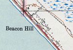
Beacon Hill,
1936 |
|
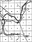
Overstreet,
1936 |
|
Port St. Joe,
1936 |
|
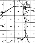
Wetappo,
1936 |
|
Wewahitchka,
1936 |
|
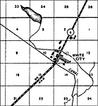
White City,
1936
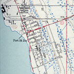
Port St. Joe,
1943 |
|
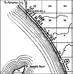
Beacon Hill,
1944 |
|
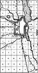
Wewahitchka, Florida,
1945 |
|
Honeyville and Gaskins Still, Florida,
1945 |
|
Dalkeith, Florida,
1945 |
|
Wewahitchka,
1945 |
|
St. Joseph Point,
1982 |
|
Overstreet ,
1982 |
|
Cape San Blas,
1982 |
|
Lake Wimico,
1982 |
|
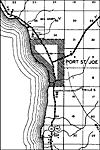
Port St. Joe,
1982 |
|
Overstreet Detail,
1982 |
|
Saint Joe Beach,
1982 |
|
Indian Peninsula,
1982 |
|
Odena,
1982 |
|
Eglin Air Force Base,
1982 |
|
Money Beach,
1982 |
|
Unknown Golf Course,
1982 |
|
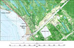
Highland View and Palm Point,
1982 |
| Next | Last |
| FL Maps > Local > Gulf |
Maps ETC
is a part of the
Educational Technology Clearinghouse
Produced by the
Florida Center for Instructional Technology
© 2007
College of Education
,
University of South Florida