Maps Site map
  FL Maps > Local > Marion
Site Map  

City and Local Maps for Marion County

Click on a thumbnail image to view a full size version of that map.

  Record   1   to   14  of   14

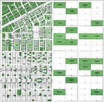
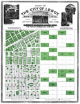
Plat of the City of Leroy, Marion Co., Florida, 1890
Digitization provided by the USF Libraries Digitization Center. Rare Maps. This is a detailed map showing the plat of the city of Leroy, circa 1890. Section Township Range (STR) is shown. All lots in green are sold and ownership is shown. This map sh...

Plat of the City of Leroy, Marion Co., Florida, 1890
A portion of the plat map of the city of Leroy, Florida showing the town center and surrounding lands. Digitization provided by the USF Libraries Digitization Center. Rare Maps. This is a detailed map showing the plat of the city of Leroy, circa 189...

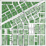
Plat of the City of Leroy, Marion Co., Florida - Detail, 1890
A portion of the plat map of the city of Leroy, Florida detailing the town center. Digitization provided by the USF Libraries Digitization Center. Rare Maps. This is a detailed map showing the plat of the city of Leroy, circa 1890. Section Township ...

Anthony and Surrounding Mines, 1893
This is a map of Anthony and surrounding mines in Marion County, Florida courtesy of the Pennsylvania State University map library. It shows elevation, roads, railroads and locations of dwellings and mines. Detail view from a United States Geological...

Citra, 1893
This is a map of Citra in Marion County, Florida courtesy of the Pennsylvania State University map library. It shows elevation, roads, railroads, marshes, ponds, inland waters and locations of dwellings. Detail view from a United States Geological Su...

Anthony, 1893
This is a map of Anthony in Marion County, Florida showing a closer view courtesy of the Pennsylvania State University map library. It shows elevation, roads, railroads and locations of dwellings and a mine. Detail view from a United States Geologica...

Ocala, 1895
This is a map of Ocala in Marion County, Florida courtesy of the Pennsylvania State University map library. This map shows elevation, local roads, railroads, inland waters and locations of dwellings. Detail view from a United States Geological Survey...

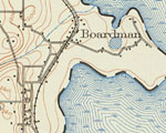
Boardman, 1938
This is a map of Boardman in Marion County, Florida courtesy of the Pennsylvania State University map library. It shows elevation, roads, railroads, marshes, inland waters and locations of dwellings. Detail view from a United States Geological Survey...

McIntosh, 1938
This is a map of McIntosh in Marion County, Florida courtesy of the Pennsylvania State University map library. It shows elevation, local roads, railroads, streams, inland waters and locations of dwellings. Detail view from a United States Geological ...

Orange Lake, 1938
This is a map of Orange Lake in Marion County, Florida courtesy of the Pennsylvania State University map library. It shows elevation, local roads, railroads, marshes, inland waters and locations of dwellings. Detail view from a United States Geologic...

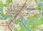
Dunnellon, 1954
This is a map of Dunnellon in Marion County, Florida courtesy of the Pennsylvania State University map library. It shows elevation, roads, railroads, inland waters and locations of dwellings, churches and schools. Detail view from a United States Geo...

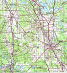
Ocala, 1978
A portion of Gainesville Geological Survey and National Ocean Service map showing the Ocala area current to 1978. The map shows State, primary and secondary roads, railroad lines and airports. Natural features include lakes, rivers and swamps. The ma...

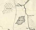
Detail Map of Major Dade Battle Ground: Fort King, December 28, 1835
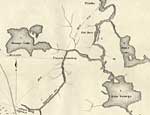
This map shows the Battle Ground of Major Dade, in particular the Fort King area. Shown is the military road, inland waters and location of Fort King....

Detail Map of Major Dade Battle Ground: Paines Landing, December 28, 1835
This map shows the Battle Ground of Major Dade, in particular Paines Landing. Shown is the military trail from Fort King to Pilatka or Palatka, inland waters and location of Paines Landing....


  FL Maps > Local > Marion
Site Map  

Maps ETC is a part of the Educational Technology Clearinghouse
Produced by the Florida Center for Instructional Technology © 2007
College of Education , University of South Florida