|
|
|
| FL Maps > Local > Nassau |
Click on a thumbnail image to view a full size version of that map.
|
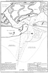
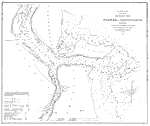
A Plan of Amelia Harbour and Barr in East Florida,
1794 |
|
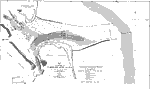
A Detail Plan of Amelia Harbour and Barr in East Florida,
1794 |
|
A Plan of Amelia Harbour and Barr in East Florida: Detail,
1794 |
|
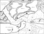
Comparative Chart of St. Mary's Bar and Fernandina Harbor, Florida,
1856 |
|
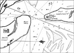
Map of the Entrance to Cumberland Sound,
1891 |
|
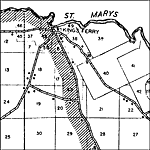
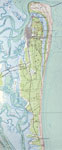
Amelia Island,
1919 |
|
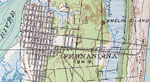
Fernandina,
1919 |
|
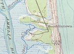
Franklintown,
1919 |
|
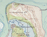
Ft. Clinch,
1919 |
|
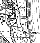
Amelia City,
1940 |
|
Andrews,
1940 |
|
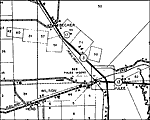
Becker,
1940 |
|
Bryceville,
1940 |
|
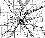
Callahan,
1940 |
|
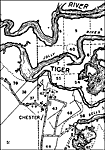
Chester,
1940 |
|
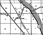
Dyal,
1940 |
|
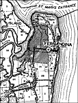
Fernandina,
1940 |
|
Gross,
1940 |
|
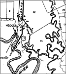
Hedges,
1940 |
|
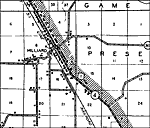
Hilliard,
1940 |
|
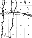
Kent,
1940
Kings Ferry,
1940 |
|
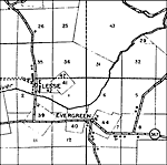
Lessie,
1940 |
|
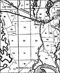
Oneil,
1940 |
|
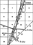
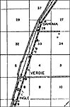
Verdie,
1940 |
| Next | Last |
| FL Maps > Local > Nassau |
Maps ETC
is a part of the
Educational Technology Clearinghouse
Produced by the
Florida Center for Instructional Technology
© 2007
College of Education
,
University of South Florida