|
|
|
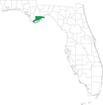
| FL Maps > County > Franklin |
Click on a thumbnail image to view a full size version of that map.
Franklin County is Florida's 17th county, established on February 8, 1832, from a segment of Escambia County. It gains its name from Benjamin Franklin, a notable American of colonial times. Apalachicola is the county seat. Of historical interest, Dr. John Gorrie of Apalachicola built the first ice-making machine in 1845.
For earlier maps of this area, visit the Escambia County map gallery.
|
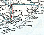
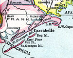
Franklin County,
1917 |
|
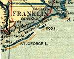
Franklin County,
1917 |
|
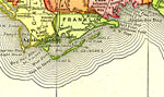
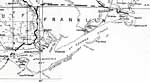
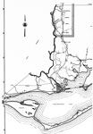
Franklin County,
1920 |
|
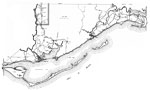
Franklin County,
1920 |
|
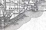
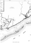
Franklin County,
1921 |
|
Franklin County,
1921 |
|
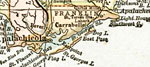
Franklin County,
1932 |
|
Franklin,
1936 |
|
East Franklin,
1936 |
|
Mid Franklin,
1936 |
|
West Franklin,
1936 |
|
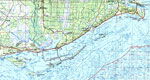
Apalachicola: Franklin County,
1988 |
|
Locater Map of Franklin County,
2008 |
|
Clipart Collection: Franklin County Maps in 50 Colors,
2008 |
|
Plain Frames Collection: Franklin County Maps in 30 Colors,
2008 |
|
Fancy Frames Collection: Franklin County Maps in 30 styles,
2008 |

|
Florida Photo Collection: Franklin County Maps in 30 styles,
2008 |
|
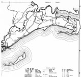
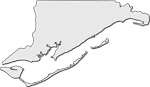
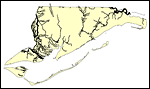
Florida Waterways: Franklin County Outline,
2008 |
|
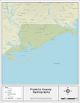
Florida Waterways: Franklin County ,
2008 |
|
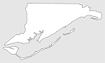
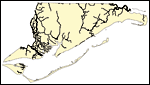
Florida Waterways: Franklin County Outline without Labels,
2008 |
|
Franklin "Abstract" Style Maps in 30 Styles,
2008 |

|
Franklin County "Fun" Maps in 30 Styles,
2008 |
|
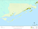
Florida Seagrass: Franklin,
2008 |

|
Franklin County Cities with Labels,
2009 |
|
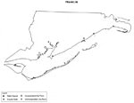
Franklin County Cities Outline,
2009 |
| First | Previous | Next | Last |
| FL Maps > County > Franklin |
Maps ETC
is a part of the
Educational Technology Clearinghouse
Produced by the
Florida Center for Instructional Technology
© 2007
College of Education
,
University of South Florida