|
|
|
| FL Maps > County > Seminole |
Click on a thumbnail image to view a full size version of that map.
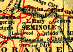
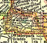
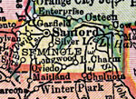
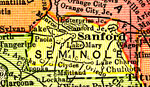
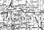
Seminole County is Florida's 50th county, established on April 25, 1913, from a segment of Orange County. It gains its name from the Native Americans who refused to be assimilated into Spanish culture. The term is likely derived from the term cimarrones, and describes animals, plants, and human slaves who refuse domestication. Sanford is the county seat.
For earlier maps of this area, visit the Orange County map gallery.
|
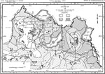
Seminole County,
1914 |
|
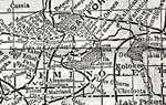
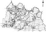
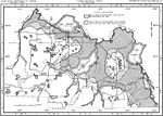
Seminole County,
1916 |
|
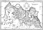
Seminole County,
1916 |
|
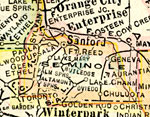
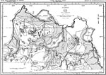
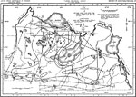
Seminole County,
1917 |
|
Seminole County,
1917 |
|
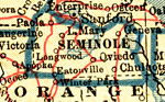
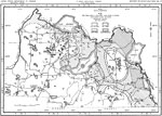
Seminole County,
1920 |
|
Seminole County,
1921 |
|
Seminole County,
1921 |
|
Seminole County,
1932 |
|
Seminole,
1936 |
|
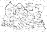
Artesian Flow and Height of the Piezometric Surface,
1954 |
|
Dissolved Solids,
1962 |
|
Hardness of Water,
1962 |
|
Chloride Content and Land Surface Altitude,
1962 |
|
Chloride Content,
1962 |
|
Configuration and Altitudes of the Top Eocene Limestones,
1962 |
|
Configuration and Altitude of the Top of the Avon Park Limestone,
1962 |
|
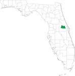
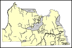
Locater Map of Seminole County,
2008 |
|
Clipart Collection: Seminole County Maps in 50 Colors,
2008 |

|
Plain Frames Collection: Seminole County Maps in 30 Colors,
2008 |
|
Fancy Frames Collection: Seminole County Maps in 30 styles,
2008 |

|
Florida Photo Collection: Seminole County Maps in 30 styles,
2008 |
|
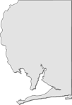
Florida Waterways: Seminole County Outline,
2008 |
|
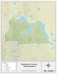
Florida Waterways: Seminole County ,
2008 |
|
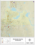
Sinkholes of Seminole County, Florida ,
2008 |
| Next | Last |
| FL Maps > County > Seminole |
Maps ETC
is a part of the
Educational Technology Clearinghouse
Produced by the
Florida Center for Instructional Technology
© 2007
College of Education
,
University of South Florida