|
|
|
| FL Maps > Local > Duval |
Click on a thumbnail image to view a full size version of that map.
|
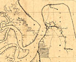
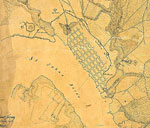
Detail - Map of Fernandina region,
1860s |
|
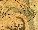
Detail - Map of the cost [sic] of Georgia & Florida,
1863 |
|
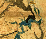
Detail - Map of the cost [sic] of Georgia & Florida,
1863 |
|
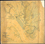
Map of Jacksonville,
1864 |
|
Detail - Map of Jacksonville,
1864 |
|
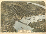
Jacksonville Florida,
1893 |
|
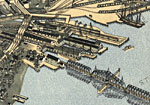
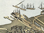
Detail - Jacksonville Florida,
1893 |
|
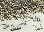
Detail - Jacksonville Florida,
1893 |
|
Detail - Jacksonville Florida,
1893 |
|
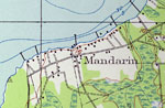
Mandarin,
1917 |
|
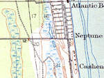
Atlantic Beach,
1918 |
|
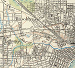
Brooklyn and Highway,
1918 |
|
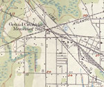
Grand Crossing Moncrief Station,
1918 |
|
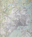
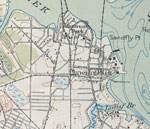
Greater Jacksonville,
1918 |
|
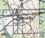
Marietta,
1918 |
|
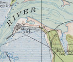
Mayport,
1918 |
|
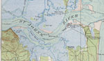
Mouth of St. Johns River,
1918 |
|
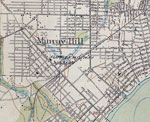
Murray Hill,
1918 |
|
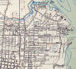
New Springfield,
1918 |
|
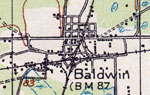
Baldwin,
1918 |
|
Panama Park and Phoenix Park,
1918 |
|
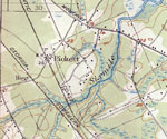
Pickett,
1918 |
|
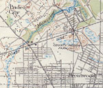
Pride City and Brentwood,
1918 |
|
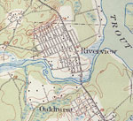
Riverview and Oakhurst,
1918 |
|
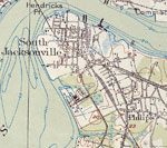
South Jacksonville,
1918 |
| Next | Last |
| FL Maps > Local > Duval |
Maps ETC
is a part of the
Educational Technology Clearinghouse
Produced by the
Florida Center for Instructional Technology
© 2007
College of Education
,
University of South Florida