|
|
|
| FL Maps > Local > Marion |
Click on a thumbnail image to view a full size version of that map.
|
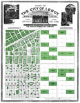
Plat of the City of Leroy, Marion Co., Florida,
1890 |
|
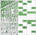
Plat of the City of Leroy, Marion Co., Florida,
1890 |
|
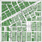
Plat of the City of Leroy, Marion Co., Florida - Detail,
1890 |
|
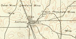
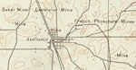
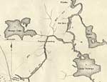
Anthony and Surrounding Mines,
1893 |
|
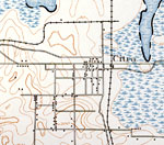
Citra,
1893 |
|
Anthony,
1893 |
|
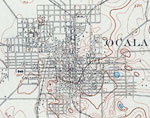
Ocala,
1895 |
|
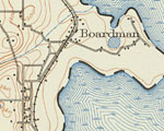
Boardman,
1938 |
|
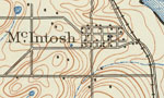
McIntosh,
1938 |
|
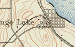
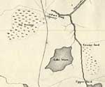
Orange Lake,
1938 |
|
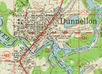
Dunnellon,
1954 |
|
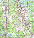
Ocala,
1978 |
|
Detail Map of Major Dade Battle Ground: Fort King,
December 28, 1835 |
|
Detail Map of Major Dade Battle Ground: Paines Landing,
December 28, 1835 |
| FL Maps > Local > Marion |
Maps ETC
is a part of the
Educational Technology Clearinghouse
Produced by the
Florida Center for Instructional Technology
© 2007
College of Education
,
University of South Florida