|
|
|
| FL Maps > Local > St. Johns |
Click on a thumbnail image to view a full size version of that map.
|
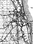
Hastings,
1936 |
|
Moultrie,
1936 |
|
Palmo,
1936 |
|
Palm Valley,
1936 |
|
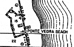
Ponte Vedra Beach,
1936 |
|
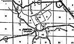
Sampson Church,
1936 |
|
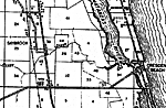
Saybrook,
1936 |
|
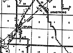
Spuds,
1936 |
|
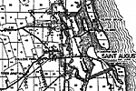
St. Augustine,
1936 |
|
St. Augustine 2,
1936 |
|
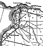
Switzerland,
1936 |
|
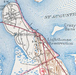
Anastasia,
1943 |
|
North St. Augustine,
1943 |
|
St. Augustine Old Town,
1943 |
|
West St. Augustine,
1943 |
|
Fort Matanzas National Monument,
1994 |
|
Fort Mose,
2006 |
|
A View of the town and castle of St. Augustine, and the English camp before it,
June 20, 1740 |
| First | Previous |
| FL Maps > Local > St. Johns |
Maps ETC
is a part of the
Educational Technology Clearinghouse
Produced by the
Florida Center for Instructional Technology
© 2007
College of Education
,
University of South Florida