Puzzle Directions: Click on a puzzle piece and drag it where you want it. When you connect two pieces correctly, they will join together. Mix up the pieces again. View finished map in pop-up window. |
|
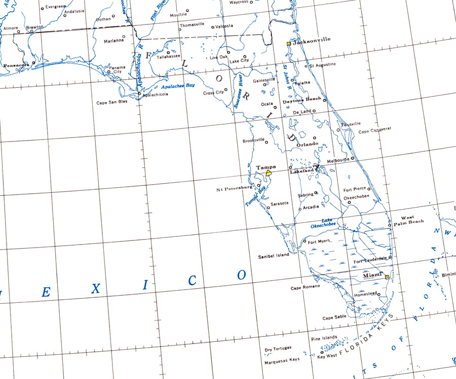
Title: Florida Lakes and Rivers
Projection: Unknown
Source Bounding Coordinates:
W: E: N: S: |
| | Description: Map of Florida showning major lakes and rivers. N.O.A.A. map reference: 9-11-1954. PLEASE NOTE: This historical data is not to be used for navigation or navigation planning. The Florida Center for Instructional Technology (FCIT) does not assume responsibility for the improper use of these data.
Source: National Oceanic and Atmospheric Administration, Coast Survey (Washington, DC: U.S. Coast and Geodetic Survey, 1954)
Map Credit: Courtesy the U.S. National Oceanic and Atmospheric Administration |
| |
|