Maps Site map
  FL Maps > State > 1900-1919
Site Map  

  Record   1   to   25  of   29

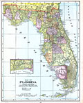
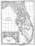
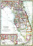
Florida, 1900
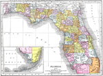
This map of Florida shows county boundaries, wetlands, and railroads connecting major cities current to 1900. There is an inset of the Northwestern portion (the Panhandle) of the state....

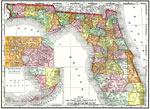
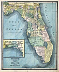
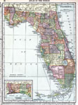
Florida, 1900
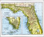
This map of Florida shows county boundaries, wetlands, and railroads connecting major cities current to 1900. There are inset maps of the Southern portion of the state and the Lake, Orange, and Volusia County area....

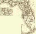
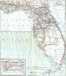
Florida Railroads, 1900
This map of Florida shows railroads, county boundaries, wetlands, cities, towns, villages, post offices, lakes, and rivers current to 1900. There are inset maps of the Southern portion of the state and the Orlando area. There are 33 railroad lines li...

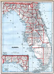
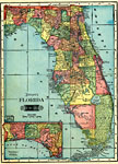
Florida, 1902
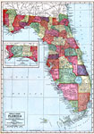
A map of Florida State, displaying county borders, county seats, and railroads current to 1902. The Panhandle is present as an inset in the bottom left corner of the map....

Florida, 1902
This is a detailed map of the state of Florida showing the state capital, county seats, great cities, big towns, important villages, little villages and stations. Style of lettering indicates the character and relative importance of place. Scale: 21 ...

Map of Florida, 1902
Digitization provided by the USF Libraries Digitization Center. Rare Maps. This is a map of Florida showing the counties, cities and towns, inland waters, railroads, etc, circa 1902. There is also an inset map of the western portion of the panhandle....

Florida, 1902
A map of Florida State, displaying county borders, county seats, and railroads current to 1902. The Panhandle is present as an inset in the bottom left corner of the map....

Florida, 1904
This map of Florida shows county boundaries, wetlands, and railroads connecting major cities current to 1904. There is an inset map of the Northwest portion (panhandle) of the state....

Complete map of Florida and the South, 1905
Digitization provided by the USF Libraries Digitization Center. Rare Maps. This is a map of the state of Florida showing the semi-tropical resorts reached by the lines of Atlantic Coast Line circa 1905. It also shows counties, cities and towns, railr...

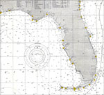
Gulf of Mexico, 1905
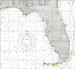
A portion of the U.S. Department of Commerce and Labor map of the Gulf of Mexico and the Atlantic coastline from Georgetown, South Carolina south along Georgia and peninsular Florida. This National Ocean Survey chart shows peninsular Florida with all...

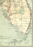
Florida and the Gulf of Mexico, 1905
A U.S. Department of Commerce and Labor map of Florida showing the Gulf of Mexico and the Atlantic coastline from Panhandle and Jacksonville area to the Keys. This National Ocean Survey chart shows all soundings expressed in fathoms and depth lines a...

Florida, 1907
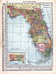
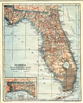
This map of Florida shows county boundaries, county seats, and railroads connecting major cities current to 1907. There is an inset of the Southern Portion of the state....

Florida, 1909
This map of Florida shows county boundaries, county seats, and railroads connecting major cities current to 1909. There is an inset of the Northwestern portion (the Panhandle) of the state....

Hammond's Map of Florida, 1910
This map of Florida shows county boundaries, roads, cities, towns, villages, lakes, and rivers current to 1910. There is an inset map of the panhandle or northwest portion of Florida. This map has counties and major cities and towns listed along the ...

Florida, 1911
This map of Florida shows county boundaries, wetlands, and railroads connecting major cities current to 1911. There is an inset of the Northwestern portion (the Panhandle) of the state....

Florida, 1911
This map of Florida shows county boundaries, wetlands, and railroads connecting major cities current to 1911. There is an inset map of the Southern portion of the state....

Geologic Map of Florida, 1911
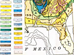
Geological map of Florida taken from the Geologic Map of North America by the US Geological Survey, 1911. Shows geological formations as classified by C. Schuchert. For the state of Florida and area immediately north these formations include Quater...

Principal Lakes and Coastal Features of Florida, 1911
Map of the Florida peninsula showing lakes, rivers, and coastline. Land colored white with water in black, making the contrast easy to see. "The southern and central portions of Florida form a great lake and swamp district, the lakes occupying...

Geological Map of Florida, 1913
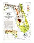
Digitization provided by the USF Libraries Digitization Center. Rare Maps. This is a map of Florida showing topography, hard rock and land pebble phosphate deposits, and areas of artesian flow, circa 1913. This map includes a legend, informative text...

Map of Everglades Drainage, 1913
Digitization provided by the USF Libraries Digitization Center. Rare Maps. This is a detail map of the Everglades and Lake Okeechobee showing the area's proposed drainage and artesian flow, circa 1913. Text from the main map states, "The inclusi...

Florida, 1914
This map of Florida shows county boundaries, wetlands, and railroads connecting major cities current to 1914. There is an inset of the Northwestern portion (the Panhandle) of the state....

Florida, 1916
This map of Florida shows county boundaries, wetlands, and railroads connecting major cities current to 1916. There is an inset of the Northwestern portion (the Panhandle) of the state....

Florida, 1916
This map of Florida shows county boundaries, roads, cities, towns, villages, lakes, and rivers current to 1916. There is an inset map of the panhandle or northwest portion of Florida. This map has counties and major cities and towns listed in larger ...

North and Central Florida, 1917
This is a 1917 map of North and Central Florida. It shows railroads, proposed railroads, principal roadways (and other auto routes), canals, county boundaries, and county seats current to the time....

South Florida, 1917
This is a 1917 map of the Southern portion of FL, with an inset of the panhandle available in the lower left corner. It gives detail about transportation routes including canals, railroads, and roads. County boundaries and County seats current to the...

Next Last


  FL Maps > State > 1900-1919
Site Map  

Maps ETC is a part of the Educational Technology Clearinghouse
Produced by the Florida Center for Instructional Technology © 2007
College of Education , University of South Florida