|
|
|
| FL Maps > Region > 1880-1899 |
|
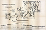
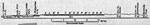
Survey for the opening of steamboat communication from Saint John's River, Fla.,
1881 |
|
Survey for the opening of steamboat communication from Saint John's River, Fla.,
1881 |
|
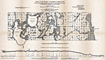
Steamboat communication from Saint John's River, Fla., by way of Tohopokeliga Lake, to Charlotte Harbor or Peace Creek,
1882 |
|
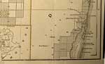
Detail - Maps showing the Florida Transit and Peninsula Rail Road and its connections,
1882 |
|
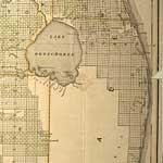
Section of Basin of Lake Okeechobee,
1884 |
|
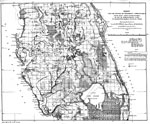
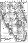
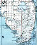
Map of the South Florida Overflowed & Swamp Lands,
1884 |
|
Map of Okeechobee Drainage Canal,
1884 |
|
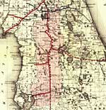
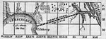
Charlotte Harbor and the Valley of the Caloosahatchee,
1884 |
|
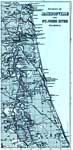
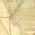
Vicinity of Jacksonville and St. Johns River, Florida,
1886 |
|
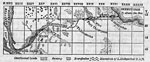
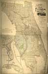
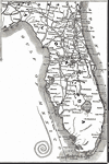
A new sectional map of Florida,
1888 |
|
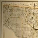
Detail - A new sectional map of Florida,
1888 |
|
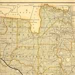
Detail - A new sectional map of Florida,
1888 |
|
Detail - A new sectional map of Florida,
1888 |
|
Detail - A new sectional map of Florida,
1888 |
|
Detail - A new sectional map of Florida,
1888 |
|
Detail - A new sectional map of Florida,
1888 |
|
Detail - A new sectional map of Florida,
1888 |
|
Detail - A new sectional map of Florida,
1888 |
|
Detail - A new sectional map of Florida,
1888 |
|
Detail - A new sectional map of Florida,
1888 |
|
Detail - A new sectional map of Florida,
1888 |
|
Detail - A new sectional map of Florida,
1888 |
|
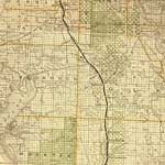
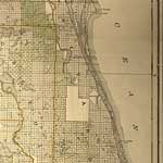
Florida Detail - New and correct map of the Chicago, Kansas & Nebraska Railway,
1888 |
|
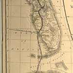
The Everglades,
1889 |
|
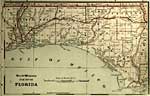
Detail - Florida,
1889 |
| Next | Last |
| FL Maps > Region > 1880-1899 |
Maps ETC
is a part of the
Educational Technology Clearinghouse
Produced by the
Florida Center for Instructional Technology
© 2007
College of Education
,
University of South Florida