|
|
|
| FL Maps > State > 1900-1919 |
|
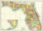
Florida,
1917 |
|
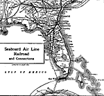
Seaboard Air Line Railroad and Connections,
1917 |
|
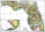
Florida,
1918 |
|
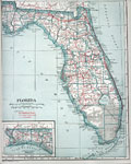
Automobile Map of Florida,
1919 |
| First | Previous |
| FL Maps > State > 1900-1919 |
Maps ETC
is a part of the
Educational Technology Clearinghouse
Produced by the
Florida Center for Instructional Technology
© 2007
College of Education
,
University of South Florida