Maps Site map
  FL Maps > Local > Duval
Site Map  

City and Local Maps for Duval County

Click on a thumbnail image to view a full size version of that map.

  Record   1   to   25  of   39

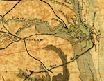
Detail - Map of Fernandina region, 1860s
This detail of a map of the Fernandina region shows major waterways for Amelia Island and Fernandina current to the 1860s. The head of the Amelia River is surrounded by Woodlands Island and Amelia Island. The grid of Fernandina and railroads are draw...

Detail - Map of the cost [sic] of Georgia & Florida, 1863
This detail of a map of the coast of Georgia down to Florida between Savannnah and Saint Augustine current to 1863. The detail outlines the headwaters of the Saint Mary River. It shows swamps, marshes, and railroads. Fort Clinch is indicated on the n...

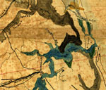
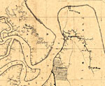
Detail - Map of the cost [sic] of Georgia & Florida, 1863
This detail of a map of the coast of Georgia down to Florida between Savannnah and Saint Augustine current to 1863. The detail outlines the main of the Saint Johns River. It shows swamps, marshes, and railroads. Jacksonville is indicated on the weste...

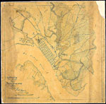
Map of Jacksonville, 1864
This map shows Jacksonville and its vicinity current to April 1864. It shows the grid of streets and main defenses, including the border to the main township. The Saint Johns River and other major and minor waterways are depicted. ...

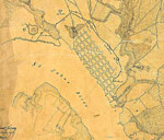
Detail - Map of Jacksonville, 1864
This detail of a map shows Jacksonville and its vicinity current to April 1864. It shows the grid of streets and main defenses, including the border to the main township and several forts. The Saint Johns River and other major and minor waterways are...

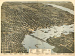
Jacksonville Florida, 1893
This map is of a panoramic view of Jacksonville, current to 1893. The map shows details about streets, harbors, bridges, railroads, and ship yards. Labeled on the map are the Courthouse, the County Jail, the hospital, schools, churches, hotels, and o...

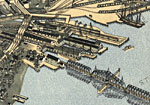
Detail - Jacksonville Florida, 1893
This detail of a map is of a panoramic view of Jacksonville, current to 1893. The map shows details about streets, harbors, bridges, and railroads. The detail shows wharves and a bridge. In the corner, there is a dock for the steam ship lines from th...

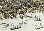
Detail - Jacksonville Florida, 1893
This detail of a map is of a panoramic view of Jacksonville, current to 1893. The map shows details about streets, harbors, bridges, and railroads. The detail shows wharves and a bridge. Labeled with the number 51, there is the South Jacksonville Fer...

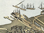
Detail - Jacksonville Florida, 1893
This detail of a map is of a panoramic view of Jacksonville, current to 1893. The map shows details about streets, harbors, bridges, and railroads. The detail shows wharves. Railroads lead right to waiting boats, where the freight trains could have t...

Mandarin, 1917
This is a map of Mandarin in Duval County, Florida courtesy of the Pennsylvania State University map library. It shows elevation, water depth, marshes, local roads, inland waters and locations of dwellings. Detail view from a United States Geological...

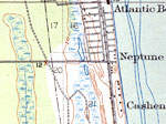
Atlantic Beach, 1918
This is a map of Atlantic Beach in Duval County, Florida courtesy of the Pennsylvania State University map library. It shows elevation, roads, railroads, inland waters, oceans, surrounding towns and locations of dwellings. Detail view from a United S...

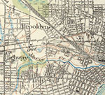
Brooklyn and Highway, 1918
This is a map of Brooklyn and Highway in Duval County, Florida courtesy of the Pennsylvania State University map library. It shows elevation, roads, railroads, inland waters and locations of dwellings, schools, businesses and a hotel. Detail view fro...

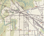
Grand Crossing Moncrief Station, 1918
This is a map of Grand Crossing Moncrief Station in Duval County, Florida courtesy of the Pennsylvania State University map library. It shows elevation, roads, railroads, inland waters and locations of dwellings and a school. Detail view from a Unite...

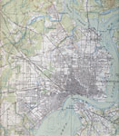
Greater Jacksonville, 1918
This is a map of Greater Jacksonville in Duval County, Florida courtesy of the Pennsylvania State University map library. It shows elevation, roads, railroads, inland waters and locations of dwellings. Contour interval 10 feet. Detail view from a Un...

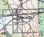
Marietta, 1918
This is a map of Marietta in Duval County, Florida courtesy of the Pennsylvania State University map library. It shows elevation, roads, railroads, inland waters and locations of dwellings, churches and a school. Detail view from a United States Geol...

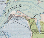
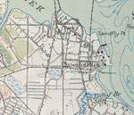
Mayport, 1918
This is a map of Mayport in Duval County, Florida courtesy of the Pennsylvania State University map library. It shows elevation, roads, railroads, inland waters and locations of dwellings, a church and a lighthouse or beacon. Detail view from a Unite...

Mouth of St. Johns River, 1918
This is a map of the Mouth of the St. Johns River in Duval County, Florida courtesy of the Pennsylvania State University map library. It shows elevation, roads, railroads, inland waters and locations of dwellings. Detail view from a United States Geo...

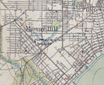
Murray Hill, 1918
This is a map of Murray Hill in Duval County, Florida courtesy of the Pennsylvania State University map library. It shows elevation, roads, railroads, inland waters and locations of dwellings, schools and more. Detail view from a United States Geolog...

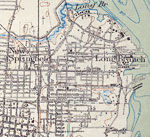
New Springfield, 1918
This is a map of New Springfield in Duval County, Florida courtesy of the Pennsylvania State University map library. It shows elevation, roads, railroads, inland waters, surrounding towns and locations of dwellings, schools and more. Detail view from...

Baldwin, 1918
This is a map of Baldwin in Duval County, Florida courtesy of the Pennsylvania State University map library. It shows elevation, roads, railroads, inland waters and locations of dwellings, a school and a church. Detail view from a United States Geolo...

Panama Park and Phoenix Park, 1918
This is a map of Panama Park and Phoenix Park in Duval County, Florida courtesy of the Pennsylvania State University map library. It shows elevation, roads, railroads, inland waters and locations of dwellings, a school and more. Detail view from a Un...

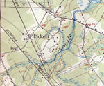
Pickett, 1918
This is a map of Picket in Duval County, Florida courtesy of the Pennsylvania State University map library. It shows elevation, roads, railroads, inland waters, surrounding towns and locations of dwellings. Detail view from a United States Geological...

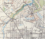
Pride City and Brentwood, 1918
This is a map of Pride City and Brentwood in Duval County, Florida courtesy of the Pennsylvania State University map library. It shows elevation, roads, railroads, inland waters and locations of dwellings and more. Detail view from a United States Ge...

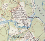
Riverview and Oakhurst, 1918
This is a map of Riverview and Oakhurst in Duval County, Florida courtesy of the Pennsylvania State University map library. It shows elevation, roads, streams, marshes, inland waters and locations of dwellings. Detail view from a United States Geolog...

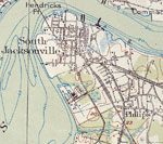
South Jacksonville, 1918
This is a map of South Jacksonville in Duval County, Florida courtesy of the Pennsylvania State University map library. It shows elevation, roads, railroads, surrounding towns, inland waters and locations of dwellings and more. Detail view from a Uni...

Next Last


  FL Maps > Local > Duval
Site Map  

Maps ETC is a part of the Educational Technology Clearinghouse
Produced by the Florida Center for Instructional Technology © 2007
College of Education , University of South Florida