|
|
|
| FL Maps > State > 2000- |
|
Florida Department of Transportation Rainfall Zones,
2004 |
|
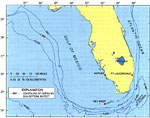
The Florida Platform,
2004-88 |
|
Location of Timucuan Indians,
2007 |
|
Location of Calusa Indians,
2007 |
|
Location of Tequesta Indians,
2007 |
|
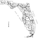
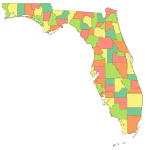
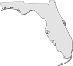
A color outline map of Florida's counties,
2008 |
|
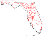
A map of Florida roads,
2008 |
|
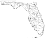
An outline map of Florida railroads,
2008 |
|
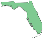
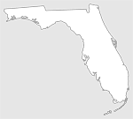
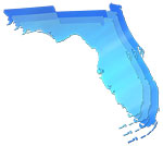
A solid map of Florida,
2008 |
|
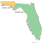
A map showing Florida's time zones,
2008 |
|
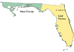
East and West Florida,
2008 |
|
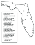
Major colleges and universities in Florida,
2008 |
|
Clipart Collection: State Maps in 50 Colors,
2008 |
|
Plain Frames Collection: State Maps in 30 Colors,
2008 |
|
Fancy Frames Collection: State Maps in 30 styles,
2008 |
|
Florida Photo Collection: State Maps in 30 styles,
2008 |
|
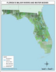
Florida's Major Rivers and Water Bodies,
2008 |
|
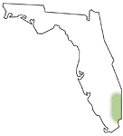
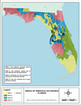
Areas of Sinkhole Occurrence: Florida ,
2008 |
|
Florida "Abstract" Style Maps in 30 Styles,
2008 |
|
Florida "Fun" Maps in 30 Styles,
2008 |
|
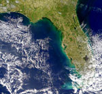
Smoke Plume from Florida Fires,
April 10, 2000 |
|
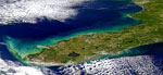
South Florida Fire,
April 9, 2000 |
|
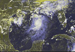
Tropical Storm Bonnie,
August 11, 2004 |
|
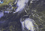
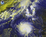
Tropical Storm Bonnie and Hurricane Charley,
August 12, 2004 |
|
Hurricane Charley,
August 12, 2004 |
| First | Previous | Next | Last |
| FL Maps > State > 2000- |
Maps ETC
is a part of the
Educational Technology Clearinghouse
Produced by the
Florida Center for Instructional Technology
© 2007
College of Education
,
University of South Florida