|
|
|
| FL Maps > County > Volusia |
Click on a thumbnail image to view a full size version of that map.
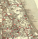
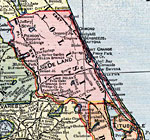
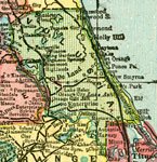
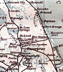
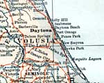
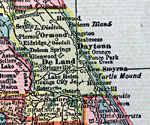
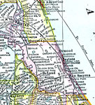
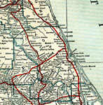
Volusia County is Florida's 13th county, established on December 29, 1854, from a segment of Orange County. It gains its name from a landing called Volusia on the St. Johns River near Lake George, although the original origin of the name is unknown. DeLand is the county seat.
For earlier maps of this area, visit the Orange County map gallery.
|
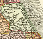
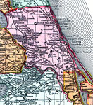
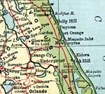
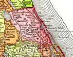
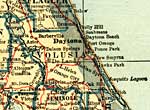
Volusia County,
1895 |
|
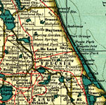
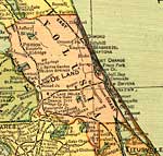
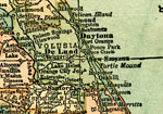
Volusia County,
1897 |
|
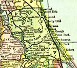
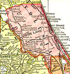
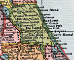
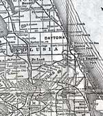
Volusia County,
1898 |
|
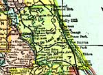
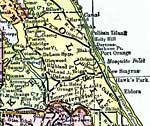
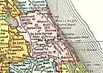
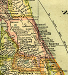
Volusia County,
1898 |
|
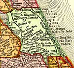
Volusia County,
1898 |
|
Volusia County,
1899 |
|
Volusia County,
1900 |
|
Volusia County,
1900 |
|
Florida Railroads - Volusia County,
1900 |
|
Volusia County,
1902 |
|
Volusia County,
1904 |
|
Volusia County,
1904 |
|
Volusia County,
1907 |
|
Volusia Couny,
1909 |
|
Volusia County,
1910 |
|
Volusia County,
1911 |
|
Volusia County,
1914 |
|
Volusia County,
1916 |
|
Volusia County,
1916 |
|
Volusia County,
1917 |
|
Volusia County,
1917 |
|
Volusia County,
1920 |
|
Volusia County,
1920 |
|
Volusia County,
1921 |
|
Volusia County,
1921 |
| First | Previous | Next | Last |
| FL Maps > County > Volusia |
Maps ETC
is a part of the
Educational Technology Clearinghouse
Produced by the
Florida Center for Instructional Technology
© 2007
College of Education
,
University of South Florida