|
|
|
| FL Maps > County > Volusia |
Click on a thumbnail image to view a full size version of that map.
Volusia County is Florida's 13th county, established on December 29, 1854, from a segment of Orange County. It gains its name from a landing called Volusia on the St. Johns River near Lake George, although the original origin of the name is unknown. DeLand is the county seat.
For earlier maps of this area, visit the Orange County map gallery.
|
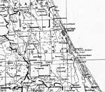
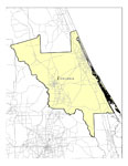
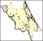
Volusia County,
1932 |
|
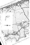
Mid Volusia,
1936 |
|
North Volusia,
1936 |
|
South Volusia,
1936 |
|
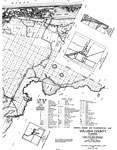
Volusia EPA Superfund Sites,
2008 |
|
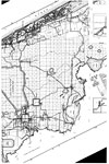
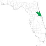
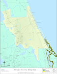
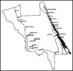
Locater Map of Volusia County,
2008 |
|
Clipart Collection: Volusia County Maps in 50 Colors,
2008 |
|
Plain Frames Collection: Volusia County Maps in 30 Colors,
2008 |
|
Fancy Frames Collection: Volusia County Maps in 30 styles,
2008 |

|
Florida Photo Collection: Volusia County Maps in 30 styles,
2008 |
|
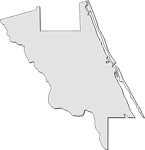
Florida Waterways: Volusia County Outline,
2008 |
|
Florida Waterways: Volusia County,
2008 |
|
Sinkholes of Volusia County, Florida ,
2008 |
|
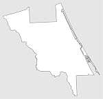
Florida Waterways: Volusia County Outline without Labels,
2008 |
|
Volusia "Abstract" Style Maps in 30 Styles,
2008 |
|
Volusia County "Fun" Maps in 30 Styles,
2008 |
|
Florida Seagrass: Volusia,
2008 |
|
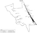
Volusia County Cities with Labels,
2009 |
|
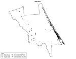
Volusia County Cities Outline,
2009 |
|
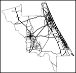
Volusia County Road Network- Black and White,
2009 |
|
Volusia County Railway Network- Black and White,
2009 |
|
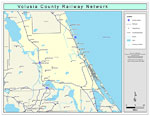
Volusia County Railway Network- Color,
2009 |
|
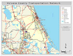
Volusia County Road Network- Color,
2009 |
| First | Previous |
| FL Maps > County > Volusia |
Maps ETC
is a part of the
Educational Technology Clearinghouse
Produced by the
Florida Center for Instructional Technology
© 2007
College of Education
,
University of South Florida