|
|
|
| FL Maps > County > Lee |
Click on a thumbnail image to view a full size version of that map.
Lee County is Florida's 41st county, established on May 13, 1887, from a segment of Monroe County. It gains its name from Robert E. Lee, a famous Confederate general during the Civil War. Fort Myers is the county seat. Of historical interest, both Thomas Edison and Henry Ford had estates in Fort Myers.
For earlier maps of this area, visit the Monroe County map gallery.
|
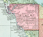
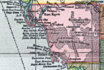
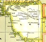
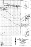
Lee County,
1911 |
|
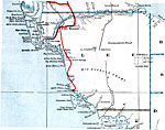
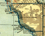
Lee County,
1911 |
|
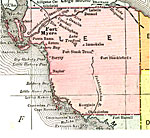
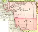
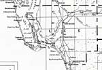
Lee County,
1914 |
|
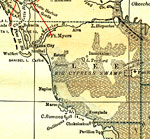
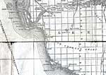
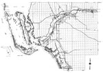
Lee County,
1916 |
|
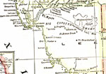
Lee County,
1916 |
|
Lee County,
1917 |
|
Lee County,
1917 |
|
Lee County,
1920 |
|
Lee County,
1921 |
|
Lee County,
1921 |
|
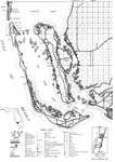
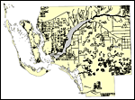
Lee County,
1932 |
|
Lee,
1936 |
|
Lee East,
1936 |
|
Lee West,
1936 |
|
Lee Middle,
1936 |
|
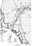
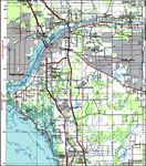
Lee County,
1985 |
|
Lee County, Florida,
1987 |
|
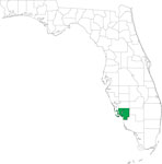
Locater Map of Lee County,
2008 |
|
Clipart Collection: Lee County Maps in 50 Colors,
2008 |
|
Plain Frames Collection: Lee County Maps in 30 Colors,
2008 |

|
Fancy Frames Collection: Lee County Maps in 30 styles,
2008 |

|
Florida Photo Collection: Lee County Maps in 30 styles,
2008 |
|
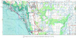
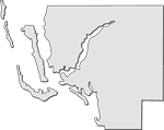
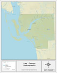
Florida Waterways: Lee County Outline,
2008 |
|
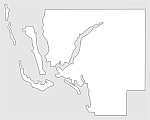
Florida Waterways: Lee County ,
2008 |
|
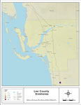
Sinkholes of Lee County, Florida ,
2008 |
| First | Previous | Next | Last |
| FL Maps > County > Lee |
Maps ETC
is a part of the
Educational Technology Clearinghouse
Produced by the
Florida Center for Instructional Technology
© 2007
College of Education
,
University of South Florida