|
|
|
| FL Maps > County > Manatee |
Click on a thumbnail image to view a full size version of that map.
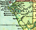
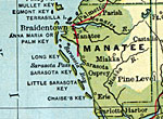
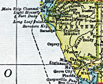
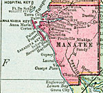
Manatee County is Florida's 31st county, established on January 9, 1855, from segments of Hillsborough County and Orange County. It gains from the manatee, also known as the sea cow, a large animal that used to be found all over the Gulf of Mexico and up to the Carolinas along the coast. Their numbers have declined significantly in recent years and they are now considered an endangered species. Bradenton, named after Dr. Joseph Braden, one of the first sugar growers in the area, is the county seat.
For earlier maps of this area, visit the Hillsborough County and Orange County map galleries.
|
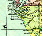
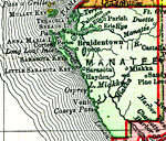
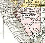
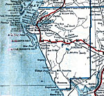
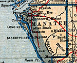
Manatee County,
1893 |
|
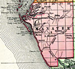
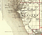
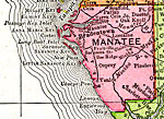
Manatee County,
1894 |
|
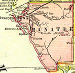
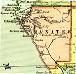
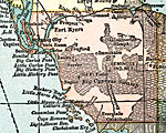
Manatee County,
1897 |
|
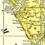
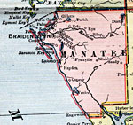
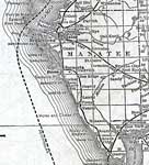
Manatee County,
1898 |
|
Manatee County,
1898 |
|
Manatee County,
1898 |
|
Manatee County,
1899 |
|
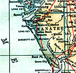
Manatee County,
1900 |
|
Manatee County,
1900 |
|
Florida Railroads - Manatee County,
1900 |
|
Manatee County,
1902 |
|
Manatee County,
1902 |
|
Manatee County,
1904 |
|
Manatee County,
1907 |
|
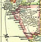
Manatee County,
1910 |
|
Manatee County,
1911 |
|
Manatee County,
1911 |
|
Manatee County,
1914 |
|
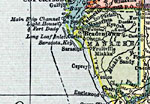
Manatee County,
1916 |
|
Manatee County,
1916 |
|
Manatee,
1917 |
|
Manatee County,
1917 |
|
Manatee County,
1920 |
|
Manatee County,
1920 |
|
Manatee County,
1921 |
| First | Previous | Next | Last |
| FL Maps > County > Manatee |
Maps ETC
is a part of the
Educational Technology Clearinghouse
Produced by the
Florida Center for Instructional Technology
© 2007
College of Education
,
University of South Florida