|
|
|
| FL Maps > County > Manatee |
Click on a thumbnail image to view a full size version of that map.
Manatee County is Florida's 31st county, established on January 9, 1855, from segments of Hillsborough County and Orange County. It gains from the manatee, also known as the sea cow, a large animal that used to be found all over the Gulf of Mexico and up to the Carolinas along the coast. Their numbers have declined significantly in recent years and they are now considered an endangered species. Bradenton, named after Dr. Joseph Braden, one of the first sugar growers in the area, is the county seat.
For earlier maps of this area, visit the Hillsborough County and Orange County map galleries.
|
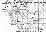
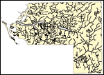
Manatee County,
1932 |
|
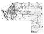
Manatee,
1940 |
|
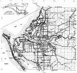
East Manatee,
1940 |
|
West Manatee,
1940 |
|
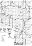
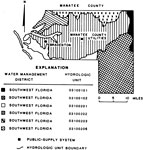
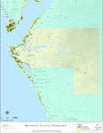
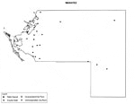
Water Management Districts and Hydrologic Units for Manatee County,
1981 |
|
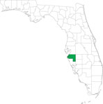
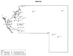
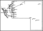
Locater Map of Manatee County,
2008 |
|
Clipart Collection: Manatee County Maps in 50 Colors,
2008 |
|
Plain Frames Collection: Manatee County Maps in 30 Colors,
2008 |
|
Fancy Frames Collection: Manatee County Maps in 30 styles,
2008 |

|
Florida Photo Collection: Manatee County Maps in 30 styles,
2008 |
|
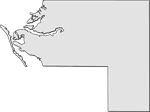
Florida Waterways: Manatee County Outline,
2008 |
|
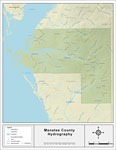
Florida Waterways: Manatee County ,
2008 |
|
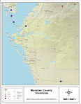
Sinkholes of Manatee County, Florida ,
2008 |
|
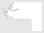
Florida Waterways: Manatee County Outline without Labels,
2008 |
|
Manatee "Abstract" Style Maps in 30 Styles,
2008 |

|
Manatee County "Fun" Maps in 30 Styles,
2008 |
|
Florida Seagrass: Manatee,
2008 |
|
Manatee County Cities with Labels,
2009 |
|
Manatee County Cities Outline,
2009 |
|
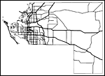
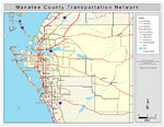
Manatee County Road Network- Black and White,
2009 |
|
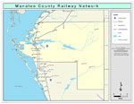
Manatee County Railway Network- Black and White,
2009 |
|
Manatee County Railway Network- Color,
2009 |
|
Manatee County Road Network- Color,
2009 |
|
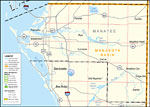
Southwest Florida Water Management District- Manatee County,
September 28, 2004 |
| First | Previous |
| FL Maps > County > Manatee |
Maps ETC
is a part of the
Educational Technology Clearinghouse
Produced by the
Florida Center for Instructional Technology
© 2007
College of Education
,
University of South Florida