|
|
|
| FL Maps > County > Lafayette |
Click on a thumbnail image to view a full size version of that map.
Lafayette County is Florida's 33rd county, established on December 23, 1856, from a segment of Madison County. It gains its name from the Marquis de Lafayette (1757-1834). Although never actually living in Florida, Lafayette championed the cause of American freedom to the French government and served as a major general for the American Revolutionary Army. Mayo is the county seat.
For earlier maps of this area, visit the Madison County map gallery.
|
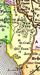
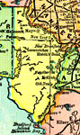
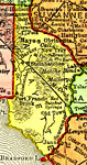
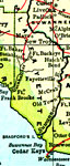
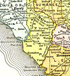
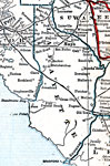
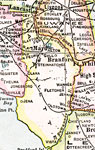
Lafayette County,
1894 |
|
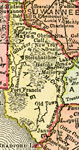
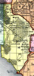
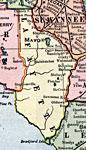
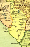
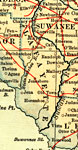
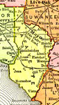
Lafayette County,
1895 |
|
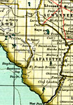
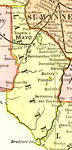
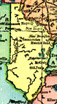
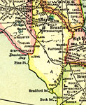
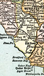
Lafayette,
1897 |
|
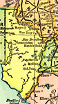
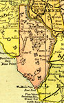
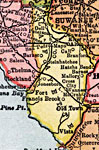
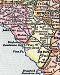
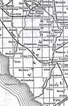
Lafayette County,
1898 |
|
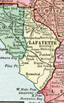
Lafayette County,
1898 |
|
Lafayette County,
1898 |
|
Lafayette County,
1899 |
|
Lafayette County,
1900 |
|
Lafayette County,
1900 |
|
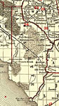
Florida Railroads - Lafayette County,
1900 |
|
Lafayette County,
1902 |
|
Lafayette County,
1904 |
|
Lafayette County,
1907 |
|
Lafayette County,
1909 |
|
Lafayette County,
1910 |
|
Lafayette County,
1911 |
|
Lafayette County,
1911 |
|
Lafayette County,
1914 |
|
Lafayette County,
1916 |
|
Lafayette County,
1916 |
|
Lafayette,
1917 |
|
Lafayette County,
1917 |
|
Lafayette County,
1920 |
|
Lafayette County,
1920 |
|
Lafayette County,
1921 |
| First | Previous | Next | Last |
| FL Maps > County > Lafayette |
Maps ETC
is a part of the
Educational Technology Clearinghouse
Produced by the
Florida Center for Instructional Technology
© 2007
College of Education
,
University of South Florida