|
|
|
| FL Maps > County > Leon |
Click on a thumbnail image to view a full size version of that map.
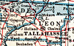
Leon County is Florida's 7th county, established on December 29, 1824, from a segment of Escambia County. It gains its name from Juan Ponce de León, a famous Spanish explorer. During Columbus' second voyage (1513), de León sighted land that he named "Pasqua de Flores," after the Feast of Flowers that occurs around Easter time. Tallahassee, which also serves as the capital for Florida, is the county seat. Its name is derived from a Creek Indian word meaning "old town."
For earlier maps of this area, visit the Escambia County map gallery.
|
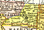
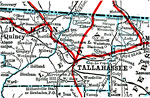
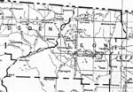
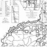
Leon County,
1911 |
|
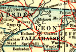
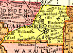
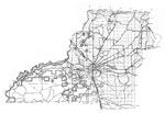
Leon County,
1914 |
|
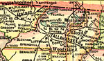
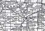
Leon County,
1916 |
|
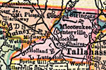
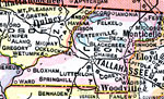
Leon County,
1916 |
|
Leon County,
1917 |
|
Leon County,
1917 |
|
Leon County,
1920 |
|
Leon County,
1921 |
|
Leon County,
1921 |
|
Leon County,
1932 |
|
Leon,
1936 |
|
Leon East,
1936 |
|
Leon West,
1936 |
|
Leon Middle,
1936 |
|
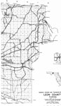
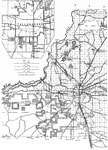
Leon County,
1988 |
|
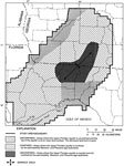
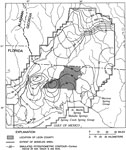
Confined and Unconfined Areas of the Upper Floridan Aquifer in Leon County,
1996 |
|
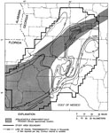
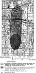
Simulated Potentiometric Surface of the Upper Floridan Aquifer in Leon County,
1996 |
|
Transmissivity of the Upper Floridan Aquifer in Leon County,
1996 |
|
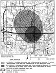
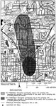
Water Contributing Areas to City of Tallahassee Well 23,
1996 |
|
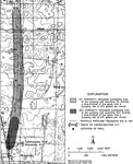
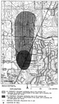
Water Contributing Areas to City of Tallahassee Well Woodville 1,
1996 |
|
Water Contributing Areas to City of Tallahassee Well 2,
1996 |
|
Water Contributing Areas to City of Tallahassee Well 12,
1996 |
|
Water Contributing Areas to City of Tallahassee Well 18,
1996 |
|
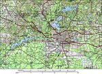
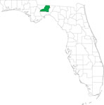
Locater Map of Leon County,
2008 |
|
Clipart Collection: Leon County Maps in 50 Colors,
2008 |
| First | Previous | Next | Last |
| FL Maps > County > Leon |
Maps ETC
is a part of the
Educational Technology Clearinghouse
Produced by the
Florida Center for Instructional Technology
© 2007
College of Education
,
University of South Florida