|
|
|
| FL Maps > County > Miami-Dade |
(Formerly Dade County, 1836-1997)
Click on a thumbnail image to view a full size version of that map.
Miami-Dade County is Florida's 19th county, established on February 4, 1836, from a segment of St. Johns County. It gains its name from Major Francis Langhorne Dade, who commanded U.S. Army troops that were killed by Seminole Indians during the Second Seminole War. On November 13, 1997, voters decided to legally change the name of the county to Miami-Dade. This was done to take advantage of the additional name recognition that could be gained. Miami is the county seat.
For earlier maps of this area, visit the St. Johns County map gallery.
|
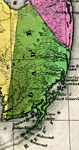
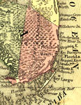
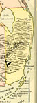
Detail - Florida,
1839 |
|
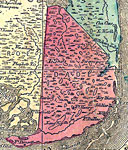
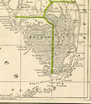
Detail - Map of the State of Florida,
1842 |
|
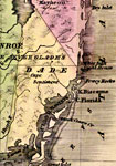
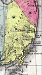
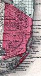
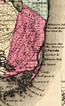
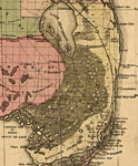
Dade County,
1845 |
|
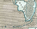
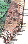
Dade County,
1850 |
|
Dade County,
1850 |
|
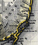
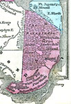
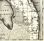
Dade County,
1856 |
|
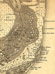
Dade County,
1857 |
|
Dade County,
1859 |
|
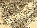
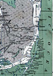
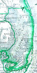
Indian Hunting Grounds in South Florida,
1859 |
|
Dade County,
1860 |
|
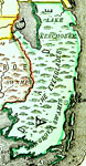
Dade,
1860 |
|
Dade County,
1860 |
|
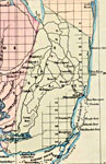
Dade County,
1863 |
|
Dade County,
1865 |
|
Dade County,
1871 |
|
Dade County,
1873 |
|
Dade County,
1874 |
|
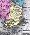
Dade County,
1880 |
|
Dade County,
1880 |
|
Dade County,
1882 |
|
Dade County,
1883 |
|
Dade County,
1886 |
|
Dade County,
1886 |
|
Dade County,
1888 |
|
Dade County,
1888 |
| Next | Last |
| FL Maps > County > Miami-Dade |
Maps ETC
is a part of the
Educational Technology Clearinghouse
Produced by the
Florida Center for Instructional Technology
© 2007
College of Education
,
University of South Florida