|
|
|
| FL Maps > State > 1820-1839 |
|
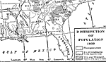
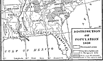
Distribution of Population,
1820 |
|
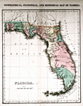
Geographical, Statistical, and Historical Map of Florida No. 37,
1822 |
|
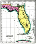
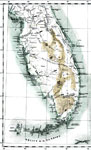
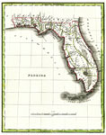
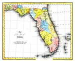
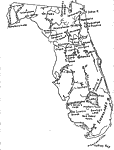
Map of Florida,
1823 |
|
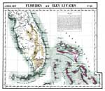
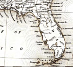
Florides et Iles Lucayes No. 62,
1827 |
|
Map of Florida According to the Latest Authorities,
1827 |
|
Florides No. 62,
1827 |
|
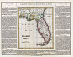
Geographical, statistical, and historical map of Florida,
1827 |
|
Geographisch-statistische und historische Charte von Florida,
1828 |
|
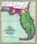
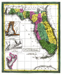
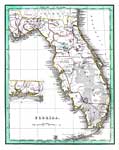
Florida,
1830 |
|
Distribution of Population,
1830 |
|
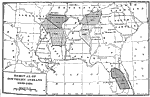
Removal of Southern Indians,
1830 to 1834 |
|
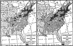
Distribution of Population,
1830 to 1840 |
|
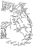
Map of the State of Florida,
1832 |
|
Florida,
1834 |
|
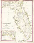
North America XIV, Florida,
1834 |
|
Florida,
1835 |
|
Seminole War,
1835 |
|
Detail - United States,
1835 |
|
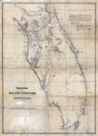
Theatre of Military Operations in Florida,
1835-1837 |
|
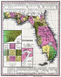
Florida,
1839 |
| FL Maps > State > 1820-1839 |
Maps ETC
is a part of the
Educational Technology Clearinghouse
Produced by the
Florida Center for Instructional Technology
© 2007
College of Education
,
University of South Florida