|
|
|
| FL Maps > State > 1900-1919 |
|
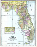
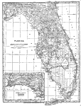
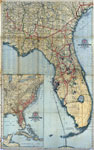
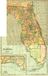
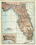
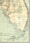
Florida,
1900 |
|
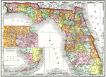
Florida,
1900 |
|
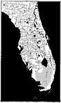
Florida Railroads,
1900 |
|
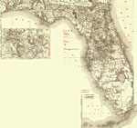
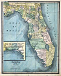
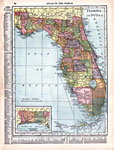
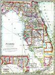
Florida,
1902 |
|
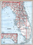
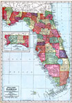
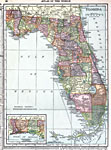
Florida,
1902 |
|
Map of Florida,
1902 |
|
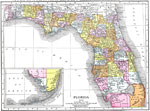
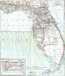
Florida,
1902 |
|
Florida,
1904 |
|
Complete map of Florida and the South,
1905 |
|
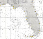
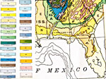
Gulf of Mexico,
1905 |
|
Florida and the Gulf of Mexico,
1905 |
|
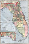
Florida,
1907 |
|
Florida,
1909 |
|
Hammond's Map of Florida,
1910 |
|
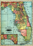
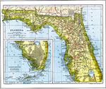
Florida,
1911 |
|
Florida,
1911 |
|
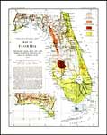
Geologic Map of Florida,
1911 |
|
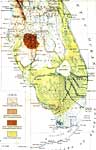
Principal Lakes and Coastal Features of Florida,
1911 |
|
Geological Map of Florida,
1913 |
|
Map of Everglades Drainage,
1913 |
|
Florida,
1914 |
|
Florida,
1916 |
|
Florida,
1916 |
|
North and Central Florida,
1917 |
|
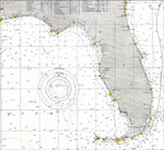
South Florida,
1917 |
| Next | Last |
| FL Maps > State > 1900-1919 |
Maps ETC
is a part of the
Educational Technology Clearinghouse
Produced by the
Florida Center for Instructional Technology
© 2007
College of Education
,
University of South Florida