|
|
|
| FL Maps > State > before 1700 |
|
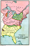
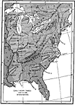
Distribution of the Barbarous Tribes East of the Mississippi,
1491 |

|
Principle Indian Nations,
1500 |
|
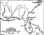
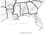
Routes of Narvaez, De Soto, and Ponce De Leon,
1513 to 1542 |
|
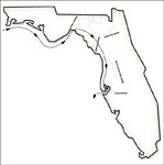
Route of Narvaez through Florida,
1528 |
|
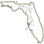
Route of de Soto through Florida,
1539 |
|
Route of De Soto and De Moscoso,
1539 to 1543 |
|
Florida,
1562 |
|
Americae sive qvartae orbis partis nova et exactissima descriptio ,
1562 |
|
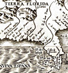
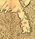
La Florida - Detail,
1584 |
|
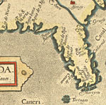
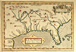
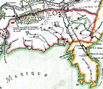
La Florida,
1584 |
|
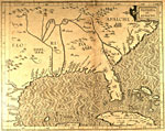
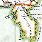
Florida et Apalche ,
1597 |
|
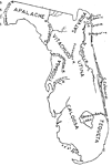
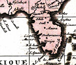
Florida et Apalche - Detail,
1597 |
|
Indian Tribes of the 16th Century,
1600 |
|
Early Indian Tribes East of the Mississippi,
1600 |
|
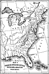
French, English, Dutch, Swedish and Spanish Provinces ,
1600 |
|
Map of Florida,
1606 |
|
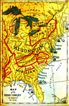
Map of the Indian Families,
1650 |
|
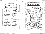
Florida,
1679 |
|
Detail - Franquelin's map of Louisiana,
1684 |
|
Detail - Franquelin's map of Louisiana,
1684 |
|
America septentrionalis in suas praecipuas parte divisa, ad usum serenissimi Burgundiae ducis,
1694 |
|
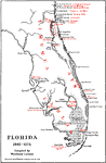
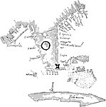
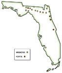
Location of Spanish missions and forts in Florida,
Before 1700 |
| FL Maps > State > before 1700 |
Maps ETC
is a part of the
Educational Technology Clearinghouse
Produced by the
Florida Center for Instructional Technology
© 2007
College of Education
,
University of South Florida