|
|
|
| FL Maps > County > Monroe |
Click on a thumbnail image to view a full size version of that map.
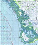
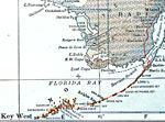
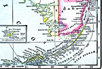
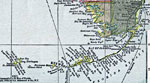
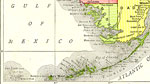
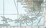
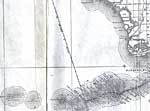
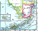
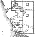
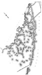
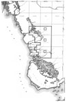
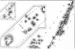
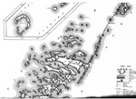
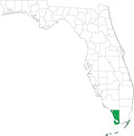
Monroe County is Florida's 6th county, established on July 3, 1823, from a segment of St. Johns County. It gains its name from James Monroe (1758-1832), the 5th President of the United States (1817-1825). One of his achievements was obtaining the Floridas from Spain. Key West is the county seat.
For earlier maps of this area, visit the St. Johns County map gallery.
|
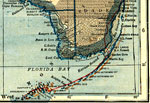
Monroe County,
1914 |
|
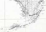
Monroe County,
1916 |
|
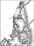
Monroe County,
1916 |
|
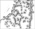
Monroe County,
1917 |
|
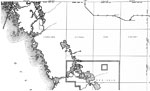
Monroe County,
1920 |
|
Monroe County,
1920 |
|
Monroe County,
1921 |
|
Monroe County,
1921 |
|
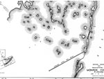
Monroe County,
1932 |
|
East Monroe 2,
1937 |
|
Mid Monroe 2,
1937 |
|
Mid Monroe 3,
1937 |
|
South Monroe,
1937 |
|
West Monroe 1,
1937 |
|
Monroe 1,
1937 |
|
Monroe 2,
1937 |
|
Monroe 3,
1937 |
|
East Monroe 1,
1937 |
|
Mid Monroe 1,
1937 |
|
North Monroe,
1937 |
|
West Monroe 2,
1937
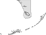
Monroe County,
1988 |
|
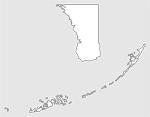
Locater Map of Monroe County,
2008 |
|
Clipart Collection: Monroe County Maps in 50 Colors,
2008 |
|
Plain Frames Collection: Monroe County Maps in 30 Colors,
2008 |
| First | Previous | Next | Last |
| FL Maps > County > Monroe |
Maps ETC
is a part of the
Educational Technology Clearinghouse
Produced by the
Florida Center for Instructional Technology
© 2007
College of Education
,
University of South Florida