|
|
|
| FL Maps > State > 1880-1899 |
|
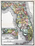
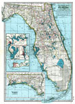
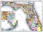
Florida,
1890 |
|
Map of Florida engraved for King's handbook of the United States,
1892 |
|
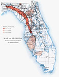
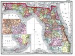
Map of Florida Showing Regions of Phosphate,
1892 |
|
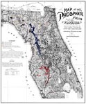
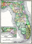
Map of the Phosphate Fields of Florida,
1893 |
|
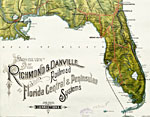
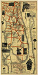
Detail - Birds-eye-view of the Richmond & Danville Railroad and the Florida Central & Peninsular Systems and their connections,
1893 |
|
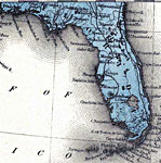
Florida,
1894 |
|
Correct Map of Florida,
1894-1895 |
|
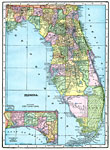
Florida,
1895 |
|
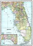
Florida,
1897 |
|
Florida,
1898 |
|
Florida,
1898 |
|
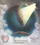
The East Coast of Florida is Paradise Regained,
1898 |
|
Florida,
1898 |
|
Detail - The Evening Post map of the West Indies,
1898 |
|
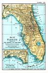
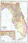
Map of Florida,
1899 |
| First | Previous |
| FL Maps > State > 1880-1899 |
Maps ETC
is a part of the
Educational Technology Clearinghouse
Produced by the
Florida Center for Instructional Technology
© 2007
College of Education
,
University of South Florida