Maps Site map
  FL Maps > State > 1880-1899
Site Map  

  Record   1   to   25  of   40

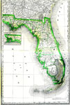
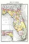
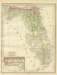
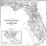
Florida, 1880
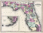
A map of Florida showing counties, county seats, railroads, rivers, and cities current to 1880. The Everglades are also shown on this map. Longitude is from the Washington Meridian. The Northwestern portion of the state is included in an inset map...

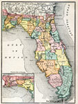
Florida, 1880
A map of Florida showing county lines, the state capital, county seats, railroads, and cities current to the 1880s. Includes an inset map of the Northwestern portion (Panhandle) of the state....

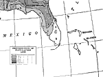
Distribution of Population, 1880
Map shows the distribution of population in Florida by the year 1880 C.E. Population differences are indicated by different outlined sections of he state. Regions show population differences from under 2 inhabitants per square mile up to 18 inhabitan...

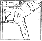
Map of the Southeastern States, 1881
This is a map explaining how to draw a map of the Southeastern United States. "1. Draw four horizontal and four vertical lines, as in the annexed sketch.You thus obtain a figure, divided into nine small squares. 2. Point A is the left-hand upper corn...

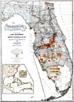
County Map of Florida, 1882
Digitization provided by the USF Libraries Digitization Center. Rare Maps. This is a detailed, hand colored map of Florida showing counties, railroads, etc. Includes grid. Insets: North-western portion of Dry Tortugas. Measurements.Dimensions: 56 x 4...

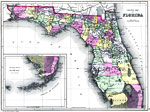
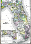
County Map of Florida, 1882
Digitization provided by the USF Libraries Digitization Center. Rare Maps. This is a hand colored map of Florida showing the counties, cities and towns, inland waters, railroads, etc, circa 1882. There is also an inset map titled "Southern Porti...

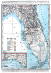
Map of the State of Florida, 1882
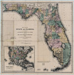
Digitization provided by the USF Libraries Digitization Center. Rare Maps. This is a detailed map of Florida, circa 1882. This map shows railroads, counties, cities and towns and inland waters. There is an inset map of "North America south of th...

Maps showing the Florida Transit and Peninsula Rail Road and its connections, 1882
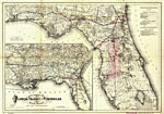
This map covers Florida and vicinity and indicates drainage, cities and towns, township and county boundaries, railroads, and the 15-mile railroad land grant limits surrounding the track in central Florida as well as a list of distances for lines in ...

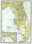
Map of Florida, 1883
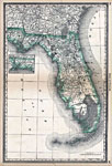
Digitization provided by the USF Libraries Digitization Center. Rare Maps. This is a hand colored map of Florida showing counties, cities and towns, railroads and inland waters circa 1883. Measurements.Dimensions: 37.5 x 53 cm. Measurements.Resolutio...

Map of Florida for Poor's Manual of Railroads, 1883
Digitization provided by the USF Libraries Digitization Center. Rare Maps. This is a railroad map of Florida, circa 1883. There's an inset map showing the western end of the state. It shows railroads, counties, cities and towns and inland waters. Acc...

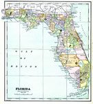
Florida, 1883
A map of the state of Florida as of 1883 showing counties, the state capital, county seats, towns, and bodies of water. ...

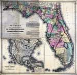
Map of Florida showing the main line and branches of the International Railroad and Steamship Company of Florida, 1884
Digitization provided by the USF Libraries Digitization Center. Rare Maps. This is a map of the state of Florida showing the main line and branches of the International Railroad and Steamship Company of Florida circa 1885. It also shows counties, cit...

Florida, 1885
Digitization provided by the USF Libraries Digitization Center. Rare Maps. This is a map of Florida showing the counties, cities and towns, inland waters, railroads, etc, circa 1885. There is also an inset map titled "North-Western Portion of Fl...

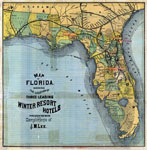
Map of Florida: 3 leading winter resort hotels, 1885
Digitization provided by the USF Libraries Digitization Center. Rare Maps. This is a map of Florida showing the location of three leading winter resorts circa 1885. They are in Sanford, Jacksonville and Tallahassee. "Presented with the complimen...

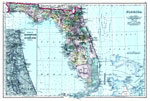
Atlas Map of Florida, 1886
A map of Florida showing county lines current to 1886, including each county seat and major towns. The railroad system extends only as far south as Tampa on the Gulf Coast, Bartow in Central Florida, and Titusville on the Atlantic Coast. Major rive...

Gray's Atlas map of Florida, 1886
Digitization provided by the USF Libraries Digitization Center. Rare Maps. This is a detailed map of Florida showing counties, cities, roads, railroads, inland waters, etc with an inset of the Plan of the Florida Keys. Prime Meridians: Greenwich and ...

Geographically correct indexed township map of Florida and southern Georgia, 1886
Digitization provided by the USF Libraries Digitization Center. Rare Maps. This is a map of Florida showing complete system of Florida Central and Peninsular railroad, the shortest and quickest route to all points in Florida extending directly throug...

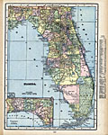
Florida, 1888
A map of Florida showing railroads, rivers, and cities current to 1888. The Everglades are also shown. The city of Miami is NOT included on this map....

A new sectional map of Florida, 1888
This map shows county lines and county seats current to the period, major towns and cities, and railroad routes and stations. The Township and Range survey grid is shown extending from the Tallahassee Base Line and the Tallahassee Meridian. The Towns...

Florida, 1888
A map of Florida showing county lines, the county seats, railroads, and cities current to 1888. The Everglades and other wetlands are also shown on this map. The Northwestern portion of the state (the Panhandle) is included in an inset map....

Florida, 1889
Digitization provided by the USF Libraries Digitization Center. Rare Maps. This is a detailed map of Florida showing counties, railroads, cities, inland waters, etc. Includes grid. Insets: North-western portion of Florida -- Dry Tortugas. Measurement...

Florida, 1890
A map of Florida showing county lines current to 1890, including each county seat and major towns. The railroad system extends as far south as Punta Gorda (Charlotte Harbor) on the Gulf Coast, and Titusville on the Atlantic Coast. Major rivers and ...

Florida, 1890
A map of Florida showing counties, county seats, cities, railroads, rivers, and the Everglades. The longitude on this map goes by the Washington Meridian. Includes an inset map of the United States....

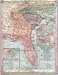
Florida, 1890
A map of Florida including the Carolinas and Georgia from 1890 showing railroad and steamship routes, major cities, principle seaports, major lakes and rivers, and primary agricultural and industrial products including tobacco, oranges, cotton, sugar...

Distribution of Population, 1890
Map indicates the population distribution throughout Florida in the year 1890 C.E. Different regions of Florida are indicated with having populations ranging from under 2 inhabitants per square mile to having up to 45 inhabitants per square mile....

Next Last


  FL Maps > State > 1880-1899
Site Map  

Maps ETC is a part of the Educational Technology Clearinghouse
Produced by the Florida Center for Instructional Technology © 2007
College of Education , University of South Florida