|
|
|
| FL Maps > County > Mosquito |
(Formerly Mosquito County, 1824-1845)
Click on a thumbnail image to view a full size version of that map.
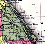
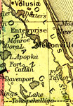
Orange County is Florida's 11th county, established on December 29, 1824, from a segment of St. Johns County. It was originally named Mosquito county after the name the Spanish had given the entire coast, "Los Mosquitos." On January 30, 1845, the Territorial Council approved the name change to Orange County, after all the orange groves in the area. Orlando is the county seat.
For earlier maps of this area, visit the St. Johns County map gallery.
|
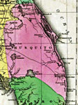
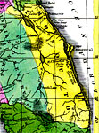
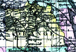
Detail - Geographical, statistical, and historical map of Florida,
1827 |
|
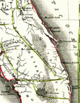
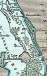
Mosquito County, Florida,
1830 |
|
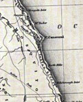
Mosquito County,
1832 |
|
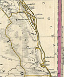
Mosquito County,
1834 |
|
Mosquito County,
1834 |
|
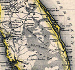
Mosquito County,
1845 |
|
Mosquito County,
1845 |
|
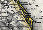
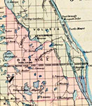
Orange County,
1850 |
|
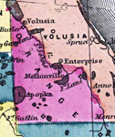
Orange County,
1850 |
|
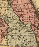
Orange County,
1856 |
|
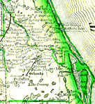
Orange County,
1857 |
|
Orange County,
1859 |
|
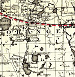
Orange County,
1860 |
|
Orange,
1860 |
|
Orange County,
1863 |
|
Orange County,
1865 |
|
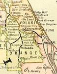
Orange County,
1871 |
|
Orange County,
1873 |
|
Orange County,
1874 |
|
Orange County,
1880 |
|
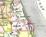
Orange County,
1882 |
|
Orange County,
1883 |
|
Orange County,
1883 |
|
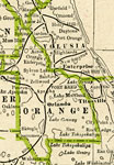
Orange County,
1886 |
|
Orange County,
1886 |
| Next | Last |
| FL Maps > County > Mosquito |
Maps ETC
is a part of the
Educational Technology Clearinghouse
Produced by the
Florida Center for Instructional Technology
© 2007
College of Education
,
University of South Florida