|
|
|
| FL Maps > Local > Monroe |
Click on a thumbnail image to view a full size version of that map.
|
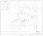
Dry Tortugas,
1922 |
|
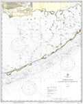
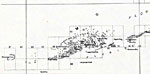
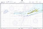
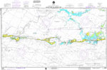
Florida Keys: Alligator Reef to Sombrero Key,
1931 |
|
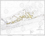
Florida Keys: Sombrero Key to Sand Key,
1932 |
|
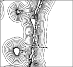
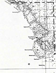
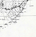
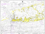
Monroe County - Mainland,
1932 |
|
Monroe County - Upper Keys,
1932 |
|
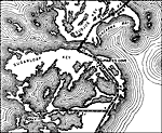
Monroe County - Lower Keys,
1932 |
|
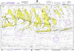
Florida Keys: Sand Key to Rebecca Shoal,
1933 |
|
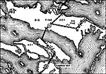
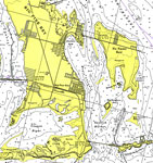
Big Pine,
1937
Islamorado,
1937 |
|
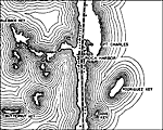
Marathon,
1937 |
|
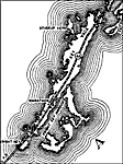
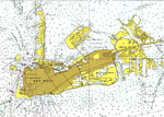
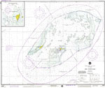
Key West,
1971 |
|
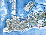
Key West- detail,
1971 |
|
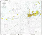
Key West Harbor and Approaches,
1974 |
|
Florida Keys: Sombrero Key to Dry Tortugas,
1974 |
|
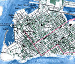
Key West,
1974 |
|
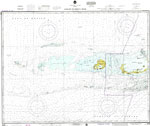
Sugarloaf Key to Key West,
1975 |
|
Bahia Honda Key to Sugarloaf Key,
1975 |
|
Matecumbe to Grassy Key,
1975 |
|
Dry Tortugas,
1975 |
|
Sand Key to Rebecca Shoal,
1975 |
|
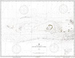
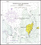
Tortugas Harbor,
1975 |
|
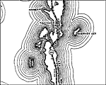
Big Pine Key,
1975 |
| First | Previous | Next | Last |
| FL Maps > Local > Monroe |
Maps ETC
is a part of the
Educational Technology Clearinghouse
Produced by the
Florida Center for Instructional Technology
© 2007
College of Education
,
University of South Florida