|
|
|
| FL Maps > Local > Monroe |
Click on a thumbnail image to view a full size version of that map.
|
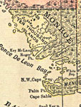
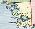
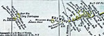
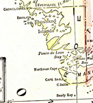
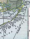
Monroe County Mainland,
1900 |
|
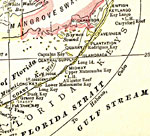
Monroe County Mainland,
1900 |
|
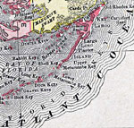
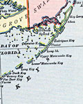
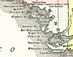
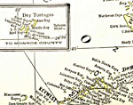
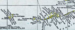
Monroe County- Upper Keys,
1900 |
|
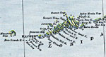
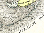
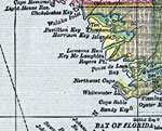
Monroe County- Lower Keys,
1900 |
|
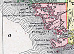
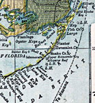
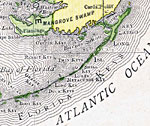
Monroe County - Mainland,
1902 |
|
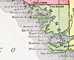
Monroe County - Upper Keys,
1902 |
|
Monroe County - Lower Keys,
1902 |
|
Monroe County - Upper Keys,
1910 |
|
Monroe County - Lower Keys,
1910 |
|
Monroe County Mainland,
1911 |
|
Monroe County- Upper Keys,
1911 |
|
Monroe County- Lower Keys,
1911 |
|
Monroe County Mainland,
1916 |
|
Monroe County- Upper Keys,
1916 |
|
Monroe County- Lower Keys,
1916 |
|
Monroe County - Mainland,
1916 |
|
Monroe County - Upper Keys,
1916 |
|
Monroe County - Lower Keys,
1916 |
|
Monroe County Mainland,
1917 |
|
Monroe County- Upper Keys,
1917 |
|
Monroe County- Lower Keys,
1917 |
|
Monroe County - Mainland,
1920 |
|
Monroe County - The Keys,
1920 |
|
Monroe County Mainland,
1921 |
|
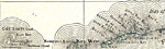
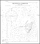
Tortugas Harbor,
1922 |
| First | Previous | Next | Last |
| FL Maps > Local > Monroe |
Maps ETC
is a part of the
Educational Technology Clearinghouse
Produced by the
Florida Center for Instructional Technology
© 2007
College of Education
,
University of South Florida