|
|
|
| FL Maps > State > 1840-1859 |
|
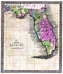
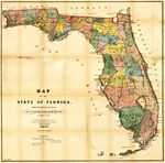
Map of the State of Florida,
1842 |
|
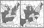
Presidential Election Results,
1844 to 1848 |
|
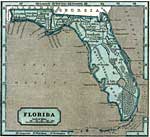
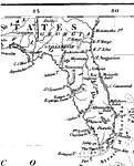
Florida,
1845 |
|
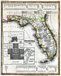
Florida,
1845 |
|
Florida,
1845 |
|
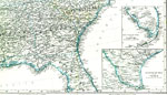
Map of the United States and Texas,
1848 |
|
Central America and the West Indies,
1848 |
|
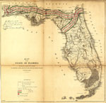
Florida,
1850 |
|
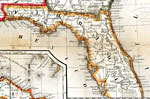
Detail - A new map of the United States,
1851 |
|
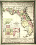
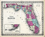
Colton's Florida,
1855 |
|
Florida,
1855 |
|
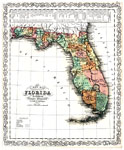
A New Map of Florida,
1856 |
|
Map of the State of Florida ,
1856 |

|
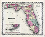
Florida,
1857 |
|
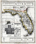
Map of the State of Florida showing the progress of the surveys accompanying annual report of the Surveyor General,
1859 |
| FL Maps > State > 1840-1859 |
Maps ETC
is a part of the
Educational Technology Clearinghouse
Produced by the
Florida Center for Instructional Technology
© 2007
College of Education
,
University of South Florida