Maps Site map
  FL Maps > State > 1820-1839
Site Map  

  Record   1   to   20  of   20

Distribution of Population, 1820
A map showing the population distribution in the Florida Territory and neighboring southern states in 1820. According to this map, the Florida Territory was an unoccupied area....

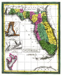
Geographical, Statistical, and Historical Map of Florida No. 37, 1822
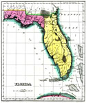
Digitization provided by the USF Libraries Digitization Center. Rare Maps. This is a map of Florida in full color by region surrounded by text. Modeled on Le Sage's plan of having explanatory text surrounding the maps. 1st Edition; Fielding Lucas eng...

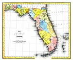
Map of Florida, 1823
Map shows the boundaries of Florida's counties, major cities, lakes and rivers. ...

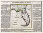
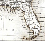
Florides et Iles Lucayes No. 62, 1827
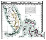
Digitization provided by the USF Libraries Digitization Center. Rare Maps. This is a hand colored lithographed map of Florida and Iles Lucayes showing the Bahamas. Includes information under "Florides" that explains the variety of trees and...

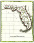
Map of Florida According to the Latest Authorities, 1827
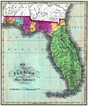
Digitization provided by the USF Libraries Digitization Center. Rare Maps. This is a map of Florida showing the counties, cities and towns, inland waters, railroads, etc, circa 1827. Measurements.Dimensions: 29 x 25 cm. Measurements.Resolution: Scale...

Florides No. 62, 1827
A detail of Vandermaelen's 1827 map showing peninsular Florida. Digitization provided by the USF Libraries Digitization Center. Rare Maps. This is a hand colored lithographed map of Florida and Iles Lucayes showing the Bahamas. Includes information u...

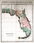
Geographical, statistical, and historical map of Florida, 1827
This 1827 map shows major rivers, lakes, coastal features, settlements, and roads in Florida. There are only twelve counties shown: Escambia, Walton, Jackson, Washington, Gadsden, Leon, Alachua, Nassau, Duval, St. Johns, Musquito, and Monroe. The Arr...

Geographisch-statistische und historische Charte von Florida, 1828
Digitization provided by the USF Libraries Digitization Center. Rare Maps. This is a detailed map from Germany of Florida, circa 1828. This map shows railroads, counties, cities and towns and inland waters. The text around the map gives geographical,...

Florida, 1830
Digitization provided by the USF Libraries Digitization Center. Rare Maps. This is a map of Florida showing counties, cities, inland waters, etc. Prime meridians: Greenwich and Washington. Measurements.Dimensions: 70 x 52 cm Measurements.Resolution: ...

Distribution of Population, 1830
A map showing the population distribution in the Florida Territory and neighboring southern states in 1830. According to this map, only the northern-most tier of the Florida Territory was occupied, with a population density estimated at between 2 and...

Removal of Southern Indians, 1830 to 1834
A map showing the removal of southern Native Americans including the removal of the Florida Seminoles from their reservation in 1832. The removal efforts were instrumental in the lead-up to the Second Seminole War from 1835 to 1842....

Distribution of Population, 1830 to 1840
These two maps show the population distribution between 1830 and 1840. While the overall population density in the Florida Territory remained under 6 inhabitants per square mile for this period, the southerly population increase in the Gulf Coast st...

Map of the State of Florida, 1832
Digitization provided by the USF Libraries Digitization Center. Rare Maps. This is a map of Florida, circa 1832. It shows counties, cities and towns, inland waters and Indian paths. It shows latitude from Greenwich and Washington. Measurements.Dimens...

Florida, 1834
Digitization provided by the USF Libraries Digitization Center. Rare Maps. This map of Florida was originally published in William Darby's Memoir on the geography and natural and civil history of Florida. This map shows the counties circa 1834. Alach...

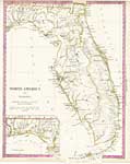
North America XIV, Florida, 1834
Digitization provided by the USF Libraries Digitization Center. Rare Maps. This is a hand colored map of Florida, circa 1834. This map shows cities and towns, inland waters and an inset map titled "Continuation of Florida." This map shows F...

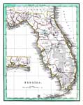
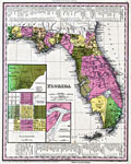
Florida, 1835
Digitization provided by the USF Libraries Digitization Center. Rare Maps. This is a map of Florida, circa 1835. There's an inset map showing the western panhandle portion of the state. It shows counties, cities and towns, grants (Arredondos and Mira...

Seminole War, 1835
Map shows major cities, rivers, lakes, forts and camps important to the Seminole War during the years of 1835 C.E. to 1842 C.E. Shows battle sites during the war....

Detail - United States, 1835
This detail is from an 1835 map of the United States, showing major rivers, lakes, coastal features, settlements, and roads in Florida. Variations of place names include Lake Macaco for Lake Okeechobee, Newcastle Island for Big Pine Key, and Thompso...

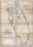
Theatre of Military Operations in Florida, 1835-1837
Digitization provided by the USF Libraries Digitization Center. Rare Maps. This is a map of Florida showing the theatre of military operations from 1835 to 1837. It shows military roads, troop locations, fortifications, inland waters, cities and town...

Florida, 1839
This map from the Tanner's Universal Atlas shows towns, forts, roads, canals, major rivers and lakes in Florida. There are references to forts, battlefields, and routes used by the Army during the Seminole War. There are also three inset maps detaili...


  FL Maps > State > 1820-1839
Site Map  

Maps ETC is a part of the Educational Technology Clearinghouse
Produced by the Florida Center for Instructional Technology © 2007
College of Education , University of South Florida