|
|
|
| FL Maps > State > 1880-1899 |
|
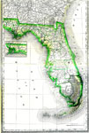
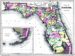
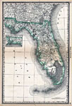
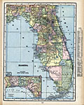
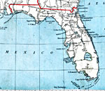
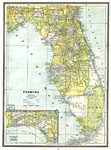
Florida,
1880 |
|
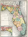
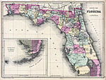
Florida,
1880 |
|
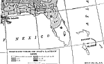
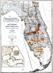
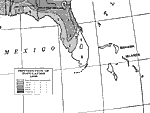
Distribution of Population,
1880 |
|
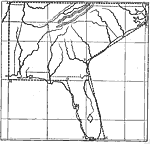
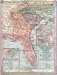
Map of the Southeastern States,
1881 |
|
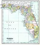
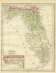
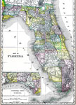
County Map of Florida,
1882 |
|
County Map of Florida,
1882 |
|
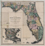
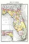
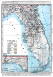
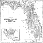
Map of the State of Florida,
1882 |
|
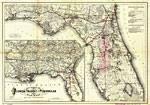
Maps showing the Florida Transit and Peninsula Rail Road and its connections,
1882 |
|
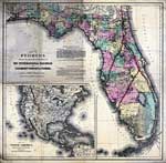
Map of Florida,
1883 |
|
Map of Florida for Poor's Manual of Railroads,
1883 |
|
Florida,
1883 |
|
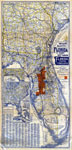
Map of Florida showing the main line and branches of the International Railroad and Steamship Company of Florida,
1884 |
|
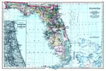
Florida,
1885 |

|
Map of Florida: 3 leading winter resort hotels,
1885 |
|
Atlas Map of Florida,
1886 |
|
Gray's Atlas map of Florida,
1886 |
|
Geographically correct indexed township map of Florida and southern Georgia,
1886 |
|
Florida,
1888 |
|
A new sectional map of Florida,
1888 |
|
Florida,
1888 |
|
Florida,
1889 |
|
Florida,
1890 |
|
Florida,
1890 |
|
Florida,
1890 |
|
Distribution of Population,
1890 |
| Next | Last |
| FL Maps > State > 1880-1899 |
Maps ETC
is a part of the
Educational Technology Clearinghouse
Produced by the
Florida Center for Instructional Technology
© 2007
College of Education
,
University of South Florida