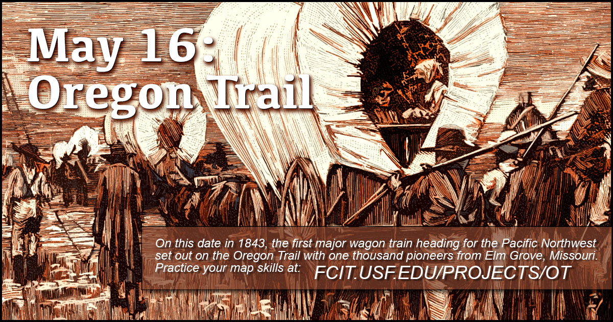
May 16: Oregon Trail
On this date in 1843, the first major wagon train with 1,000 pioneers set out on the Oregon Trail from Elm Grove, Missouri. Previous pioneers had to make at least part of the journey by horse on on foot, but this group was large enough that they could make whatever road improvements were necessary along the way.
Oregon Trail Banner
Use this banner on social media to share our collection of maps and illustrations of the Oregon Trail.
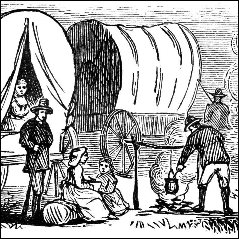
Camp along the Trail
Members of a wagon trail stopped for the night from the ClipArt ETC website.
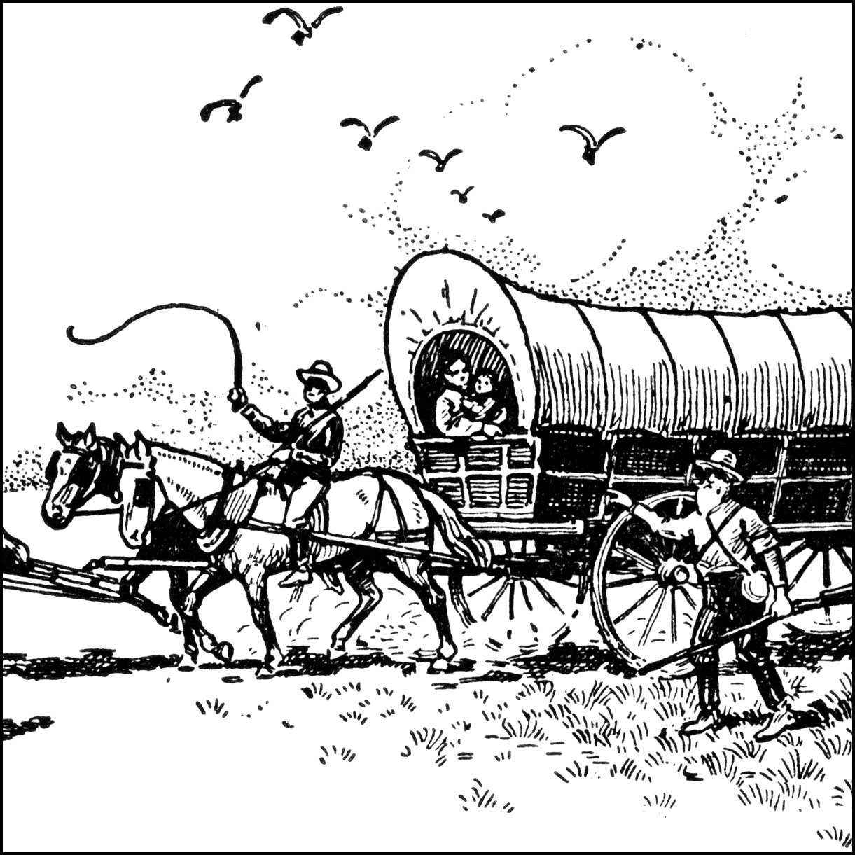
On the Trail
On the trail illustration from the ClipArt ETC website.
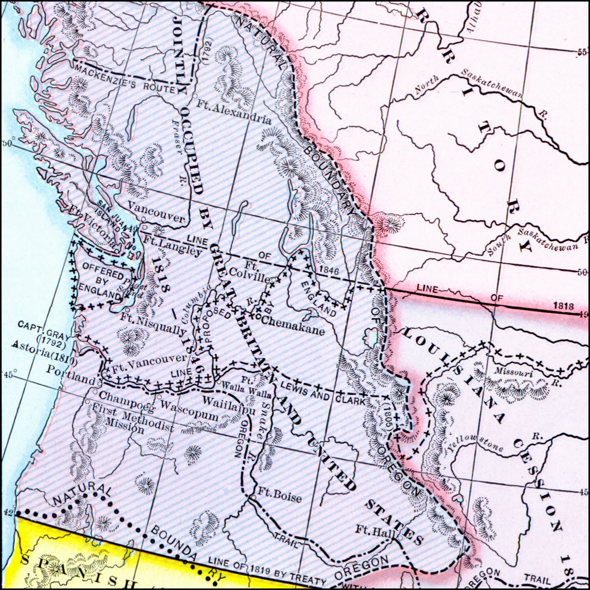
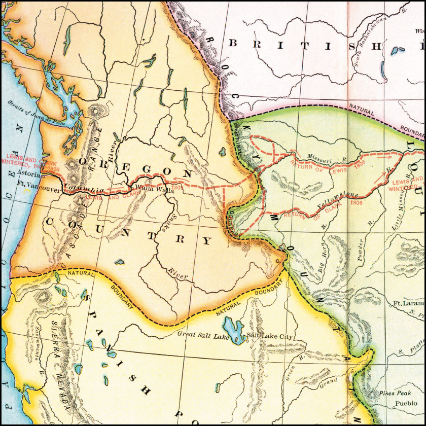
Map: Oregon Controversy, 1792–1846
Map of the Oregon Territory between the time of exploration by George Vancouver (1792) and the Oregon Treaty of 1846. The map shows the natural boundary of the Oregon Country based on the watershed divide of the Rockies, and the exploration routes of Capitan Gray (1792), Mackenzie (1792), Lewis and Clark (1805), and the western portion of the Oregon Trail. PDF. From the Maps ETC website.
Map: Route of Lewis and Clark, 1803–1806
A map showing the route and winter camps of the Lewis and Clark explorations from St. Luis in the Louisiana Territory to Astoria on the Pacific in Oregon Country (1803–1806). PDF. From the Maps ETC website.
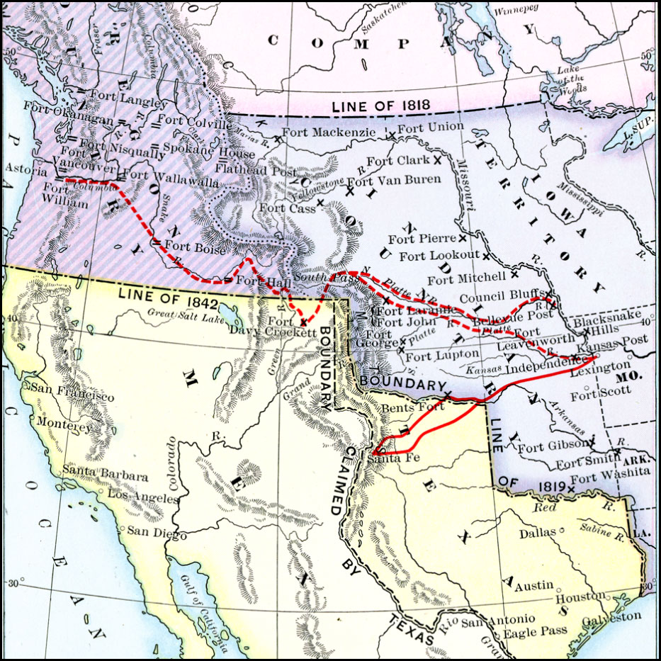
Map: Oregon Trail and Other Routes
Map showing western routes, 1832 to 1842, prior to the establishment of the Provisional Government of Oregon by American settlers in 1843. Also available as a PDF for printing. From the Maps ETC website.
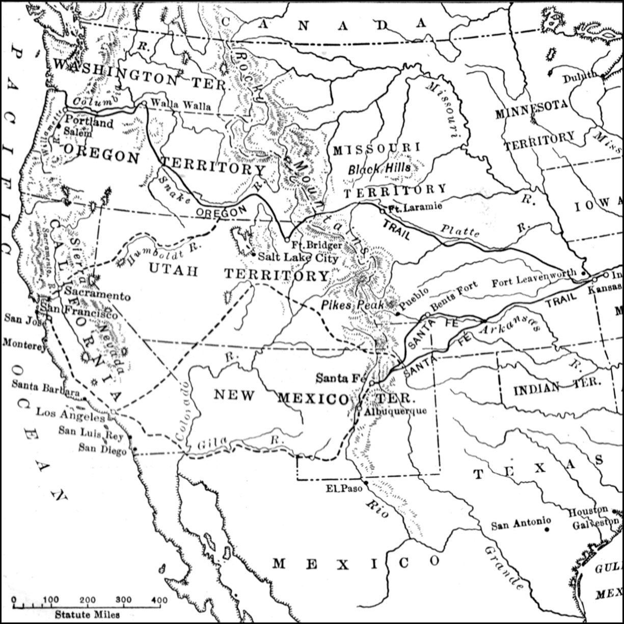
Map: The Santa Fe and Oregon Trails to the Pacific Coast
A map of the western United States in 1840–1850 showing the Oregon Trail and Santa Fe, the two principal overland routes from Independence, Missouri, to the western territories and the Pacific. PDF. From the Maps ETC website.
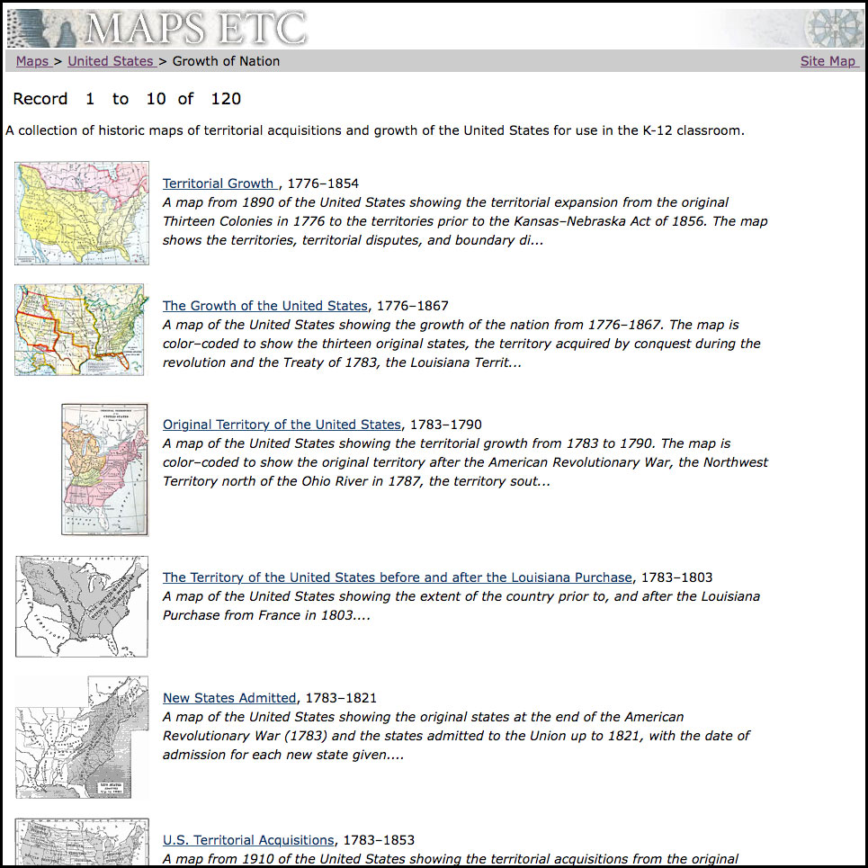
Map Gallery: Growth of the United States
Over 100 historic maps of territorial acquisitions and growth of the United States for use in the K-12 classroom. From the Maps ETC website.
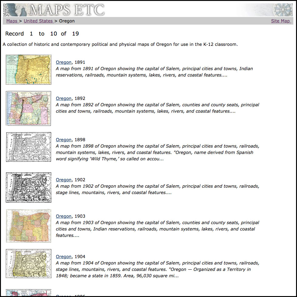
Map Gallery: Oregon State since 1891
Gallery of historic and contemporary political and physical maps of Oregon from the Maps ETC website.
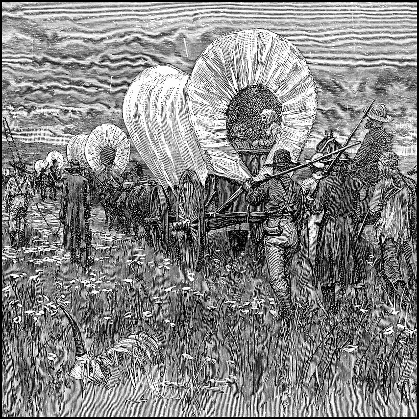
Western Train
Covered wagons contained the family goods and carried the women and children; the men marched behind or rode on horseback; they drove the sheep and cattle which they were taking to the new homes. Illustration from the ClipArt ETC website.